


Fun and Free Things to Do in San Francisco
If you're looking for something fun to do, there are plenty of fun and free things to do in San Francisco, use our guide to help make plans.
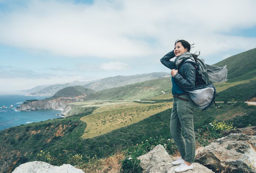
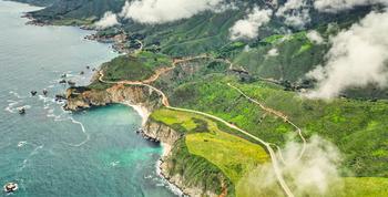
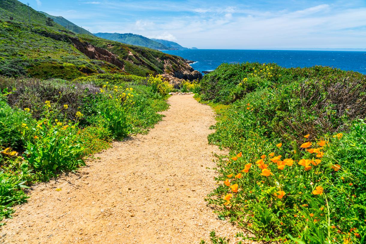
While you can go on a PCH road trip and call it a day, some of the most breathtaking places in Big Sur can only be reached by foot.
Got your sturdy boots on? Good, we’re going on a Big Sur hike. There are so many trails to check off your Central Coast itinerary, and we’re finally doing it. While you can go on a PCH road trip and call it a day, some of the most breathtaking places in Big Sur can only be reached by foot. Climb atop jagged rock cliffs and watch the waves curl along the Pacific, proving once and for all that the best views come after the hardest climb. And with a place like Big Sur, you’re bound to receive far more than you seek.
Not sold on the idea yet? These are the best hiking trails in Big Sur that’ll change your mind in a heartbeat. It’s time to walk the walk and hike the hike.
Location: Julia Pfeiffer Burns State Park, Big Sur
Hours: Sunrise to sunset
Parking: At McWay parking lot
Difficulty: Hard
Distance: 6.1 mile
Time: 2 hours and 45 minutes
Route: Loop
Dogs allowed: No
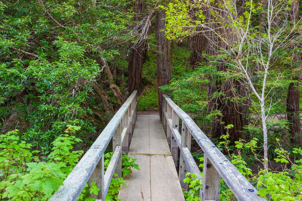
A series of flower-filled meadows in Julia Pfeiffer Burns State Park give way to one of Big Sur’s hidden gems—the Tanbark Tin House. This abandoned house overlooks the ocean from the top of a mountain. To find this rustic treasure, trek the Tanbark Trail, a six-mile loop that belongs in the Big Sur hike hall of fame (if that’s not a thing, it totally should be).
Follow the redwood forest and into the woods—the sound of the highway will soon fade away. Not only is the Tanbark Trail Big Sur’s best hike, but it also leads you to 70 years worth of history that comes in the form of a quaint, graffiti-clad tin house.
Location: San Simeon
Hours: Sunrise to sunset
Parking: Not applicable
Difficulty: Moderate
Distance: 0.8 mile
Time: 1 hour
Route: Out and back
Dogs allowed: On leash
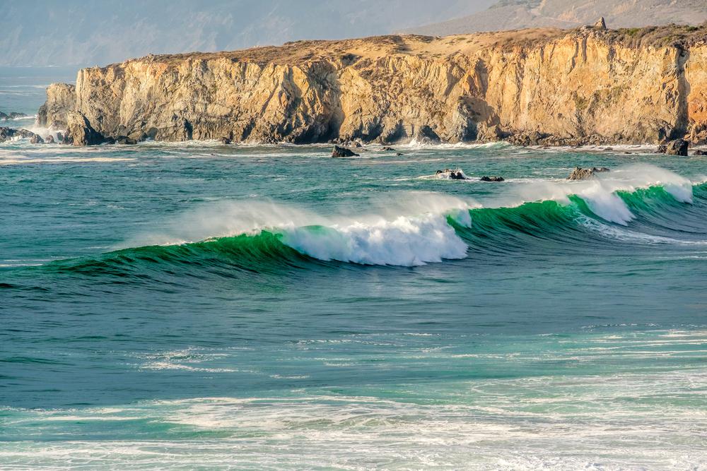
No Pacific Coast Highway road trip is complete without cruising down the stretch between San Simeon and Ragged Point. This is where the majestic Santa Lucia Mountains meet the roaring ocean, resulting in the most jaw-dropping views you’ll ever see. As you’re driving, you’ll come across plenty of must-see stops, one being Black Swift Falls—a 300-foot waterfall accessed by the Ragged Point Cliffside Trail in Big Sur. This winding and steep trail may be moderate, but it’s not as easy as you think. But if you’re up to the challenge, the unparalleled panoramas of coastal perfection will be waiting as your reward.
Location: Los Padres National Forest, Jolon
Hours: Sunrise to sunset
Parking: In the Los Padres National Forest day-use area
Difficulty: Easy
Distance: 0.4 miles
Time: 15 minutes
Route: Out and back
Dogs allowed: On leash
Big Sur’s dramatic coastline is a thing of beauty, but at times, it can be difficult to access. The best way to go on a nice, long beach walk is by taking the Sand Dollar Beach Trail. Meander half a mile along a crescent-shaped arc and take a moment to admire the Pacific in all its glory. Find one of the best trails in Big Sur at the northwest part of the Los Padres National Forest’s parking lot and make your long weekend getaway truly unforgettable.
Location: Los Padres National Forest, Big Sur
Hours: Sunrise to sunset
Parking: At Cone Peak Road
Difficulty: Moderate
Distance: 4.5 miles
Time: 1 hour 45 minutes
Route: Out and back
Dogs allowed: On leash
With an elevation of 5,155 feet, Cone Peak is the highest coastal mountain found on the country’s mainland. The peak is located a mere three miles from the ocean—you may want to prepare yourself for a steep climb. However, the views are bound to make up for it, especially in the winter months when snow covers the top of the mountain. In fact, photos on a snowy Cone Peak are considered an achievement for many Big Sur backpackers.
Location: Pfeiffer Big Sur State Park, Big Sur
Hours: Sunrise to sunset
Parking: Near the ranger station in the park
Difficulty: Hard
Distance: 18.9 miles
Time: 6 hours
Route: Out and back
Dogs allowed: Yes
This 20-mile round trip hike gains approximately 5,000 feet in elevation, making it a staple in Big Sur backcountry camping. The scenic route takes you through oak and redwoods, winding for miles until it brings you to Sykes Hot Springs. The hot springs consist of two warm pools large enough for five adults to swim in all at once. And while it’s possible to complete this hike in one day, there are awesome campsites in the area that’ll make pitching a tent a much better idea.
Location: Andrew Molera State Park
Hours: Sunrise to sunset
Parking: At Andrew Molera parking lot
Difficulty: Hard
Distance: 9.1 miles
Time: 2 hours and 15 minutes
Route: Out and back
Dogs allowed: No
Frolic through fields dotted with wildflowers and bask in nature’s splendor through one of the best hiking trails in Big Sur. The East Molera to Post Summit Trail starts off with a gentle climb, winding through oak giants, and then breaks into wide expanses filled with lush greenery. Bring all your best picnic ideas to life while coastal views grace you with the best photo ops imaginable.
Location: Los Padres National Forest, Jolon
Hours: Sunrise to sunset
Parking: Roadside parking along Highway 1
Difficulty: Easy
Distance: 0.3 miles
Time: 15 minutes
Route: Out and back
Dogs allowed: On leash
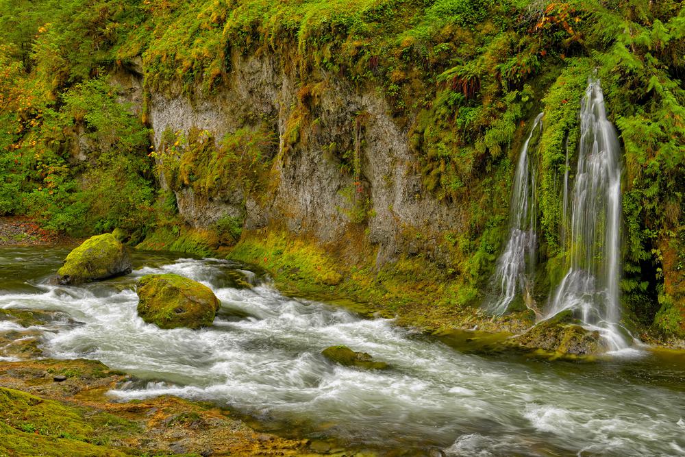
Renowned among backpackers, this Big Sur waterfall hike takes you deep into the Silver Peak Wilderness. But if you’re new to hiking, don’t worry. You only need to hike a quarter of a mile to reach a 120-foot waterfall. Simply follow the Salmon Creek Trail to reach this gorgeous waterfall pouring down the Santa Lucia Mountains.
Location: Pfeiffer Big Sur State Park, Big Sur
Hours: Sunrise to sunset
Parking: Available at Pfeiffer Big Sur parking area
Difficulty: Moderate
Distance: 2.6 miles
Time: 2 hours
Route: Loop
Dogs allowed: No
Forget about hiking Big Sur’s Boronda Trail— it’s too hard. Buzzard’s Roost, on the other hand, lets you roam the winding pathways and cuts through forested areas. This trail is as beginner-friendly as it gets, with views of mountainous peaks and crashing waves following you every step of the way.

Location: Pfeiffer Big Sur State Park, Big Sur
Hours: Sunrise to sunset
Parking: None
Difficulty: Easy
Distance: 1.2 mile
Time: 15 minutes
Route: Out and back
Dogs allowed: No
The Big Sur River Gorge Trail is a highlight of Pfeiffer Big Sur State Park, drawing visitors eager to escape the hustle and bustle of daily life. This rugged, unmaintained trail offers a serene getaway, typical of Central California's unique landscapes. As you follow the trail, you'll find yourself at an enchanting pool nestled near a granite-walled gorge. Here, you can dip your toes into the cool, azure waters, enjoying a perfect moment of tranquility amidst nature's beauty.
Location: Los Padres National Forest, Lucia
Hours: Sunrise to sunset
Parking: Not applicable
Difficulty: Easy
Distance: 2.3 mile
Time: 1 hour 20 minutes
Route: Out and back
Dogs allowed: Yes
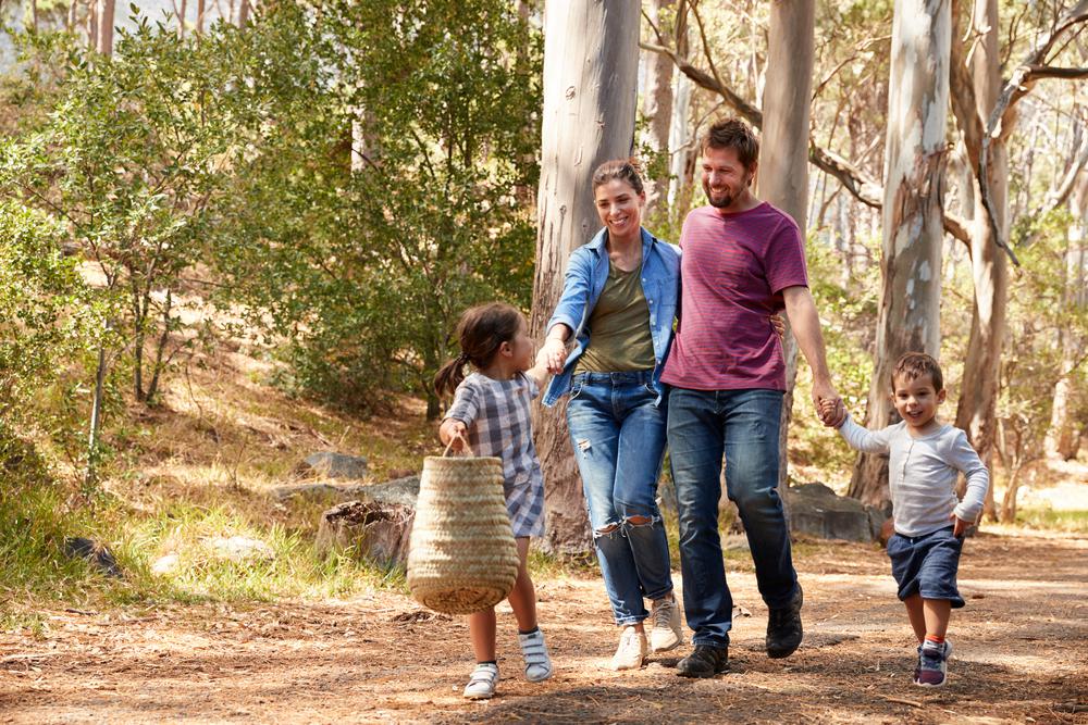
Lush greens and towering redwoods follow your path as you trek Mill Creek, one of the easiest kid and dog-friendly hikes in Big Sur. Families love going on nature trips here and rewarding themselves with a lovely picnic at the end. Meander through the rustic pathway and let the chirping birds guide you to a cascading waterfall.
Location: Pfeiffer Big Sur State Park, Big Sur
Hours: Sunrise to sunset
Parking: Available in the day-use areas outside the park
Difficulty: Moderate
Distance: 1.8 miles
Time: 1 hour and 15 minutes
Route: Out and back
Dogs allowed: No
The Valley View Trail in Big Sur is a perfect fit for hikers who like to multi-task. Located in the gorgeous Pfeiffer Big Sur State Park, this hike has a bit of everything. Marvel at redwood trees in shaded canyons, smell the colorful wildflowers along the way, cool off by a cascading waterfall, and gaze out from an overlook, showcasing views of the majestic Pacific.
Location: Silver Peak Wilderness, San Simeon
Hours: Sunrise to sunset
Parking: Not applicable
Difficulty: Hard
Distance: 12.6 miles
Time: 4 hours
Route: Out and back
Dogs allowed: Yes
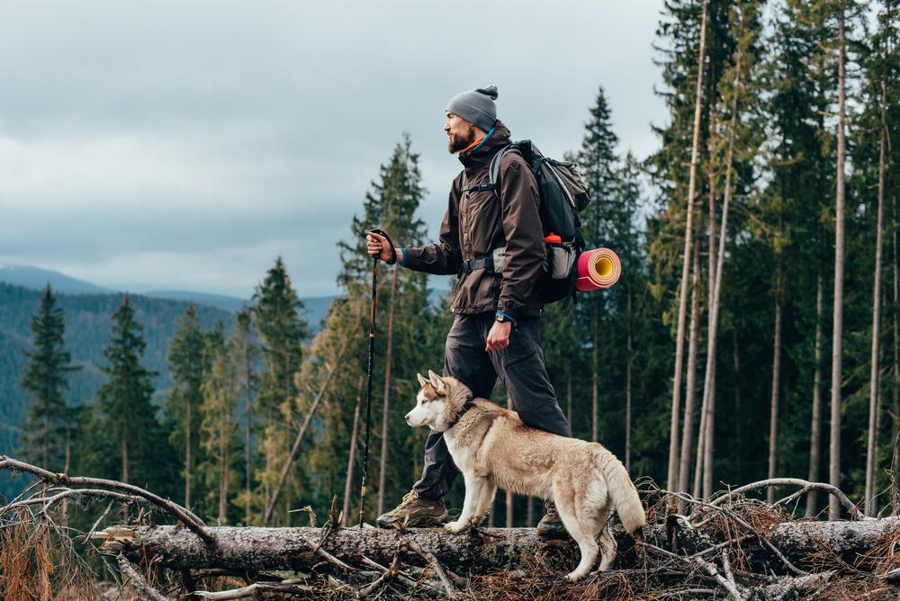
Trek the Buckeye Trail in Big Sur and find yourself in a front-row seat of breathtaking ocean views—ones that need to be seen to be believed. The trail winds through Silver Peak Wilderness, taking you through the most scenic spots at this rustic oasis. Climb the coastal canyons and ridges to reach camping areas, where you can spend the night free of charge.
Location: Silver Peak Wilderness, San Simeon
Hours: Sunrise to sunset
Parking: Available on Highway 1
Difficulty: Moderate
Distance: 5.1 miles
Time: 2 hours and 45 minutes
Route: Out and back
Dogs allowed: Yes
This Big Sur Trail is ideal for backpackers, day hikers, and even your four-legged friends. Explore the wilderness off Highway 1 and catch glimpses of the beautiful Big Sur Coast while you’re at it. The out and back trail starts off with a bit of a climb and then heads inland along a canyon wall—pockets of oaks and redwood offer you a refuge from the scorching sun.

If you're looking for something fun to do, there are plenty of fun and free things to do in San Francisco, use our guide to help make plans.

Finding a wall isn't the problem. The problem is figuring out which gym fits your lifestyle the best.
What are you waiting for? Pack up your camping essentials and head over to the best campgrounds California has to offer.

The leagues, the stadiums, how to watch, how to get tickets. Consider this your starting point.

