


Fun and Free Things to Do in San Francisco
If you're looking for something fun to do, there are plenty of fun and free things to do in San Francisco, use our guide to help make plans.
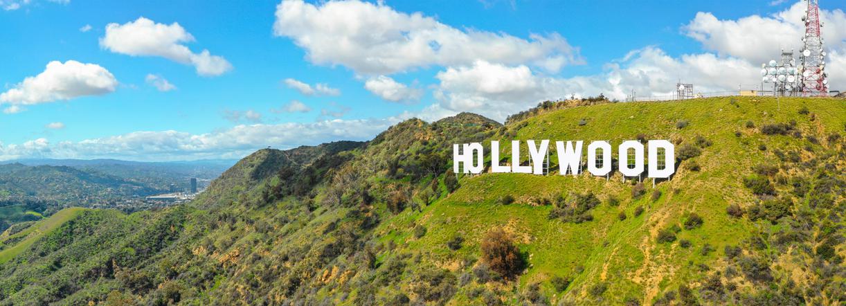
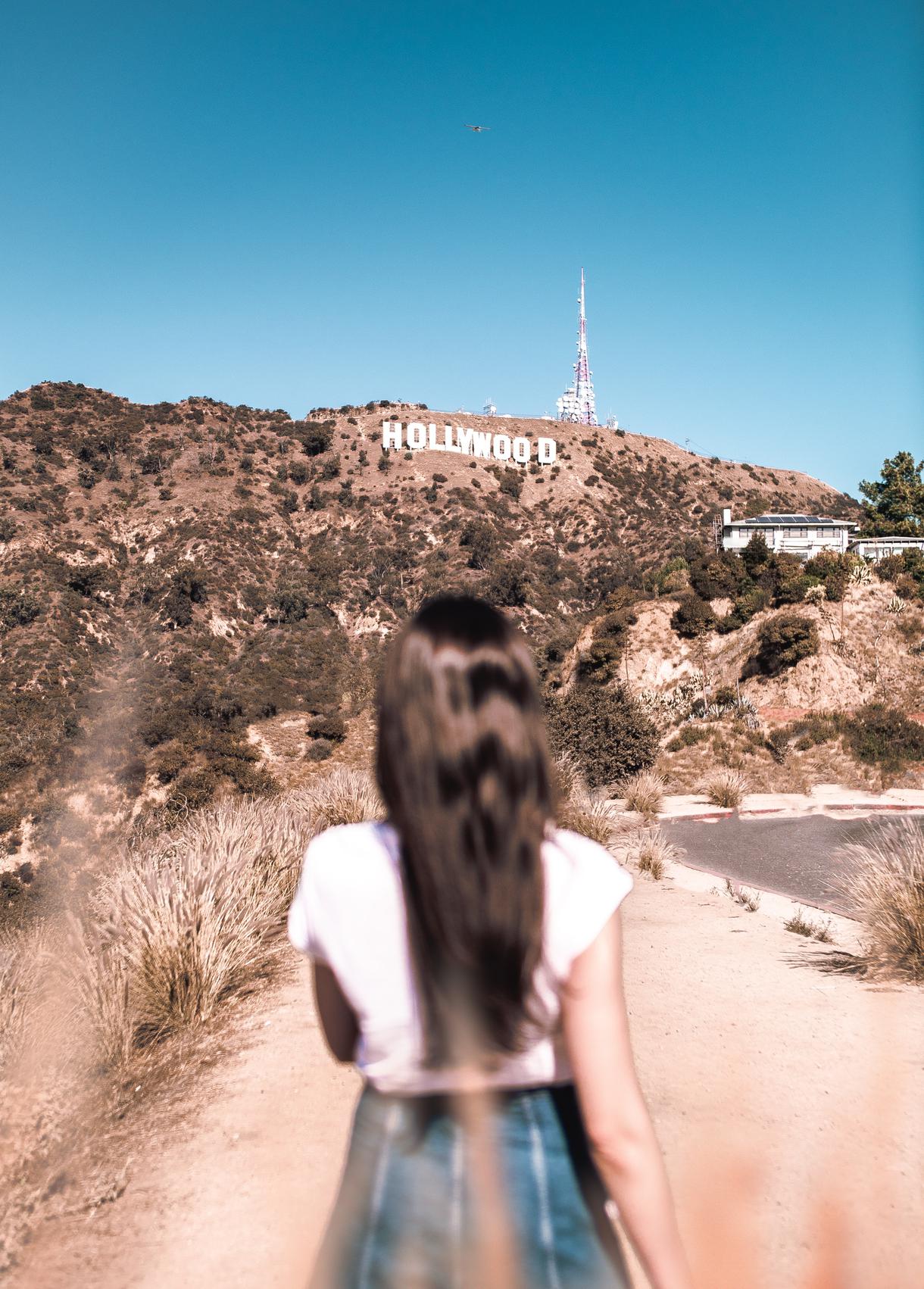
The infamous Hollywood sign hikes offer beautiful views ranging from canyons to hillsides, and a fun adventure for every trekking skill set.
From canyons covered by leafy canopies to barren mountainsides home to coyotes, the Hollywood sign hike is dense with beautiful qualities. While the pathways surrounding the Hollywood landscape are not exactly the kind of hike you’ll be alone on, many attributes leave hikers fleeing to this unique destination nevertheless.
The panoramic scenery, the great Instagrammable workout, and the potential for celebrity sightings are more than enough to make up for the masses. Whether you are looking for the perfect view of the Hollywood sign or are trying to forget it exists, the perfect Hollywood trail exists and awaits.
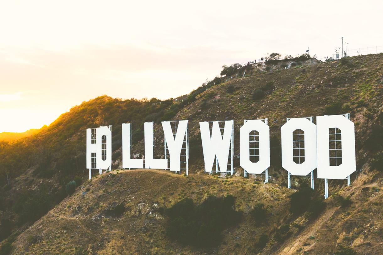
Though this landmark has become synonymous with the greater Los Angeles area, it surprisingly originated as an ad campaign announcing the Hollywoodland housing development. Regardless of how it came about, the Hollywood sign trails have always lined the sign’s majestic poise tucked in the midst of elusive nature.
Location: Canyon Dr, Los Angeles, CA 90068
Hike Difficulty: Moderate
Distance: 5.1 miles
Duration of the Hike: 2hr 21min
Elevation: 850 ft
Route: Out and back
Dogs: Allowed on leash
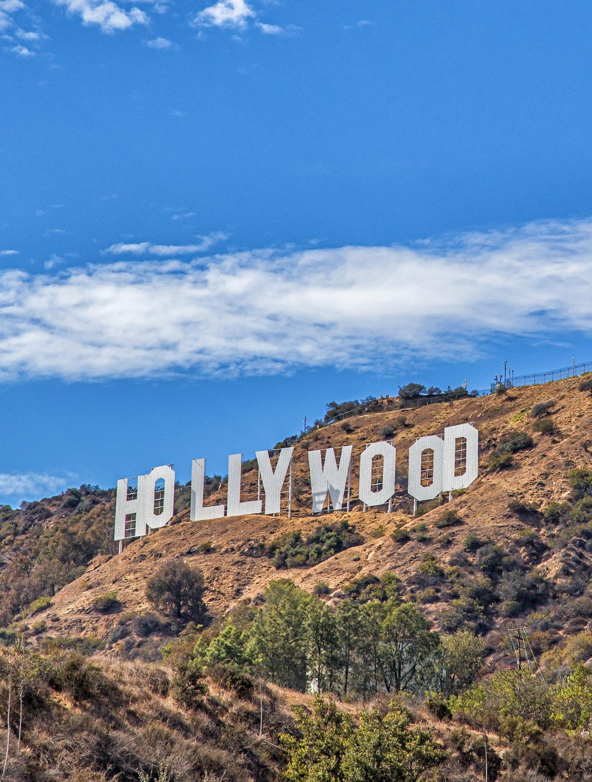
The five-mile out-and-back Hollyridge Trail leads to the Mount Lee Summit via the Aileen Getty Ridge Trail, unveiling the best view available behind the Hollywood Sign. While plenty of trails and parking lots provide brilliant views of the sign, there are hardly any access points to the back of the icon.
With the sign’s delicate nature in mind, strap on your hiking shoes and head out through Canyon Drive, just two blocks east of Beachwood Gate. Remember to bring lots of water, as the steep hillside provides little to no shade. Enjoy a varied early-bird trek or a late afternoon hike as the route offers a series of fun ventures like horseback riding and trail running.
Trekking poles and baseball hats are not out of place along this SoCal hiking trail, so don’t hold back from bringing them along. As you reach the top, bask in the dramatic views of this Hollywood Sign hike knowing you’ve just made your day in L.A well-spent.
Location: Merry Go Round Lot Two, Los Angeles, CA 90027
Hike Difficulty: Moderate
Distance: 10.3 miles
Elevation: 2520 ft
Duration of the Hike: 5hrs 36min
Route: Loop
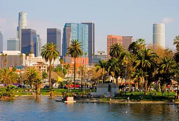
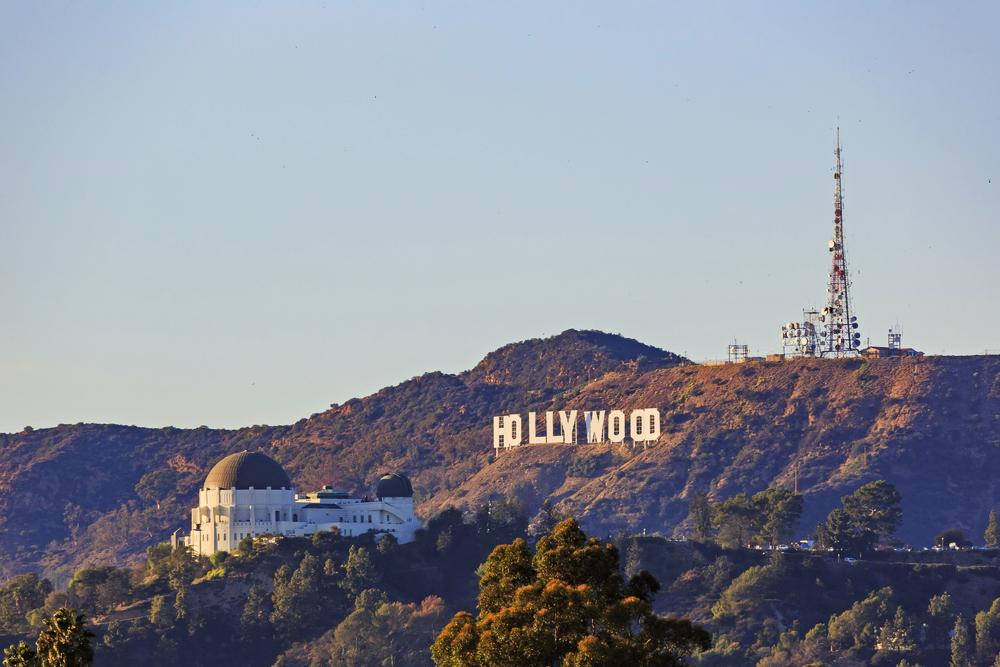
As Los Angeles’ largest historic landmark and one of the biggest municipal parks on the entire continent, Griffith Park has a lot to offer. The entirety of the park covers over 4,500 acres, encompassing 53 miles of hiking trails. With opening hours stretching between 5 a.m. to 10:30 p.m., you’ll have ample time to take this Griffith observatory hike and experience the open natural areas as well.
On this moderately challenging trail, you’ll be able to work-in that exercise you were craving throughout the week. Pack some water, put on a cap, and keep an eye out for the local wildlife—which includes quail, deer, rodents, and rattlesnakes—as you check out some of the best hiking trails in L.A.
Location: Fire Rd, Los Angeles, CA 90027
Parking Availability: 3 available parking spots
Hike Difficulty: Easy
Distance: 2.5 miles
Elevation: 390.4 ft
Duration of the Hike: 1hr 7min
Route: Loop
The now-abandoned zoo serves as one of the coolest and one of the least talked about Griffith Park trails. While the approximately 2.5-mile loop is not as lively today, it was once the bustling site of the original L.A. Zoo. After the zoo moved to its current location, the old spot was taken over by Griffith Park and spruced up with quaint picnic tables and shrubbery. While it is easy to miss, the zoo’s enclosures are hidden in plain sight, just beyond the Griffith Park merry-go-round.
Once you arrive at Griffith Park, follow the signs to the merry-go-round parking lot. From here, look for the gated road with a dirt path just beyond it and discover the wilderness is fun in L.A., too. Though this road is closed to vehicles, the hiking trails are open to pedestrians; so, trek on, taking the right trail at the fork. The pathway weaves around and eventually, brings you to cages and enclosures that once held furry friends, both large and small. After climbing around the exhibits, end this Hollywood hike as you continue following the route to find yourself back at the merry-go-round.
Location: Hollywood Hills, Los Angeles, CA 90068
Parking: Free parking at "Camp Hollywoodland"
Hike Difficulty: Easy
Distance: 0.62 miles
Elevation: 75.5 ft
Duration of the Hike: 15 min
Route: Out and back
Dogs: Allowed on leash
The Bronson Caves, also known as Bronson Canyon, is a section of Griffith Park that was formerly home to the Union Rock Company quarry. Hike to the Hollywood sign on quarry dug caves and crushed rocks, which were used in the creation of city streets during the 1910s and 1920s. However, the land was renamed the Bronson Caves, thanks to a neighboring street, soon after the quarry was abandoned.
While the history is enough to draw some geology fanatics to this California cavern, most visitors are more interested in the site’s film career—specifically its role as the Batcave in the 1960s Batman series. The half-mile route to the caves is easy and can be considered a walking path rather than a hiking trail. Three lengthier pathways lead past the caves, providing plenty of opportunities for those wanting to continue with a more demanding trek.
Location: 2734 Canyon Dr, Los Angeles, CA 90068
Hike Difficulty: Moderate
Distance: 4.7 miles
Elevation: 1,000.6 ft
Duration of the Hike: 2hr 24min
Route: Loop
Dogs: Allowed on leash
Much like the aforementioned Hollywood Sign hike, the Brush Canyon Trail allows hikers to see behind the iconic landmark, offering scenic views of its frontside along the way. Park inside the Griffith Park gates, and walk north to the trailhead to begin the hike. After about 1.5 miles, a fork in the road presents the options to go left toward the Hollyridge Trail and Mount Lee Drive via the Mulholland Trail or to veer right toward the Griffith Observatory. Whichever way you choose, many other hikers are bound to join you along the way.
Location: Inspiration Point Hiking Trl, Los Angeles, CA 90046
Parking Availability: Street Parking
Hike Difficulty: Moderate
Duration of the Hike: Approximately 1hr 33min
Route: Loop
Dogs: Allowed on leash
Situated at Inspiration Point Hiking Trail in Los Angeles, CA, this outdoor adventure offers street parking and presents a moderate challenge over its 2.6-mile loop. With an elevation gain of 748 feet, you can complete the journey in roughly an hour and a half. The trail welcomes dogs, provided they are on a leash.
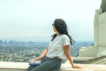
Nestled within the bustling city of Los Angeles, Runyon Canyon stands out as a beloved hiking spot among locals and visitors alike. Its network of paths spans roughly three miles, opening stunning panoramas along the way. Be ready to capture moments of beauty, as celebrity sightings and iconic views of the LA landscape are part of the experience.
You'll be greeted by views of luxurious homes, the famous Hollywood sign, and expansive city vistas—offering a unique blend of urban and natural beauty. This path diverges from the secluded, tree-lined trails found in more remote areas, delivering a quintessential LA hiking experience. Remember to bring your camera for the spectacular views and plan extra time for parking to ensure a stress-free start to your adventure.

If you're looking for something fun to do, there are plenty of fun and free things to do in San Francisco, use our guide to help make plans.

Finding a wall isn't the problem. The problem is figuring out which gym fits your lifestyle the best.

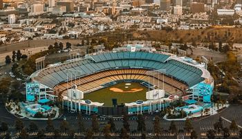
The leagues, the stadiums, how to watch, how to get tickets. Consider this your starting point.
What are you waiting for? Pack up your camping essentials and head over to the best campgrounds California has to offer.

