5 Things to Do in Little Tokyo, California
Never been before? We’ll be your trustee Little Tokyo guide with a day’s worth of fun things to do in Little Tokyo.
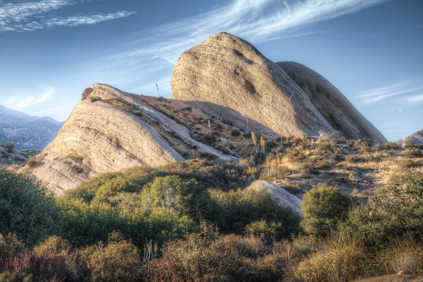
You’re a short drive away from grand mountain ranges in Southern California. The towering peaks follow you wherever you go—they stand proud as you make your way to work, go on a road trip, or even plan a mini vacation. But you’ll never truly appreciate their beauty unless you embark on a mountainous adventure and get lost in the highlands. Do you think the hills are alive with the sound of music? Read on to find out about SoCal’s mountain ranges.
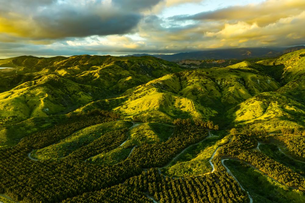
Length: 61 miles
Elevation: 5,689 feet
Number of named peaks: 41
Highest peak: Santiago Peak
A short peninsular range in Southern California, the Santa Ana Mountains form a natural barrier between Orange and Riverside Counties. The mountain range stretches from Chino Hills all the way towards the Santa Margarita River, with plenty of narrow canyons and steep inclines.

Does your business rank among the best in California?
nominate a businessLearn more about our selection criteria and vetting process.
As one of the most scenic mountains in the world, the Santa Ana Range features plenty of scenic hiking trails. One of the most popular ones is the short Tenaja Falls hike, which leads to a five-tiered waterfall that drops 150-feet. As for those looking for a challenge, Santiago and Modjeska Peaks offer strenuous hikes with stunning views of SoCal. But, the best part about the mountain range is Chino Hills State Park, where gently rolling hills provide fantastic hiking, biking, and horseback riding adventures.
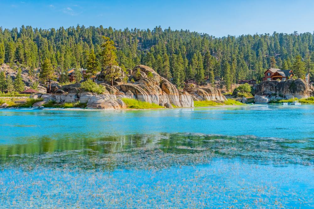
Length: 60 miles
Elevation: 11,499 feet
Number of named peaks: 110
Highest peak: San Gorgonio Mountain
The San Bernardino Mountains, one of the most popular mountain ranges in California, is where you’ll find San Gorgonio, the highest peak in the Golden State south of the Sierra. Spreading over two counties, San Bernardino and Riverside, the mountain range majestically rises above the Mojave Desert and the Coachella Valley. Due to the steep incline above the surrounding terrain, the San Bernardino Mountains have been subjected to a lot of erosion that carved out several beautiful river gorges. Several Indigenous tribes lived in the surrounding areas, including the Cahuilla and Serano people.
Thanks to its high peaks, ski enthusiasts can find some of California’s top ski resorts in the area, specifically at the charming mountain town, Big Bear Lake. As for summertime adventurers, visitors enjoy climbing, hiking, biking, and camping in the San Bernardino Mountains, as well as water-related activities at Lake Arrowhead.

Length: 68.4 miles
Elevation: 10,069 feet
Number of named peaks: 124
Highest peak: Mount San Antonio
Located in northern Los Angeles and western San Bernardino Counties, the San Gabriel Mountains are a part of the Transverse Range. Surrounded by the Angeles and San Bernardino National Forests, the range’s highest peak—Mount San Gabriel—is also the highest in Los Angeles County. The San Gabriel Mountains feature rolling peaks, plenty of canyons, and are generally very rugged. Its southern foothills are famous for citrus production.
Mount San Gabriel, aka Mount Baldy, is popular among winter sports fans—it’s the ideal spot for skiing and snowboarding. During winter, mountaineers head to Baldy Bowl to climb its snow and ice routes. As for the hotter months, backpacking, camping, hiking, canyoneering, and picnicking are common activities visitors love to enjoy. But the one thing that’s available year-round is stellar night skies—Mount Wilson Observatory is one of the best places to stargaze in California.
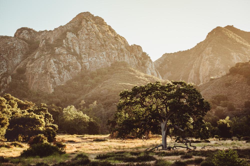
Length: 46 miles
Elevation: 3,111 feet
Number of named peaks: 21
Highest peak: Sandstone Peak
The Santa Monica Mountains are one of the most visited mountain ranges in SoCal—no wonder they’re considered one of the most scenic mountains in the world. One of the reasons it’s so popular is because the range is located by the Pacific Ocean. Another reason is its proximity to densely populated regions, including Santa Monica, Beverly Hills, Hollywood Hills, and Studio City. A big portion of the mountains is located in the Santa Monica Mountains National Recreation Area, which houses Griffith Park and Malibu Creek State Park.
The northwestern stretch of the Santa Monica Mountains is where nature becomes even more beautiful. Stunning red-rock canyons and fascinating seascapes captivate every hiker and rock climber. As for history buffs, the range features over 1,000 significant archeology sites left behind by the Tongva and Chumash people.
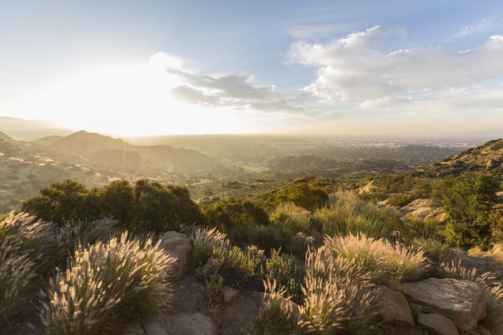
Length: 16 miles
Elevation: 3,747 feet
Number of named peaks: 10
Highest peak: Oat Mountain
Running east-west, the Santa Susana Mountains are covered in chaparral shrubland, grasslands, and oak savanna. The western side of this Southern California mountain range lies in Ventura County, while the eastern side is situated in Los Angeles County. An interesting fact to know about this range is that this is where the first discovery of oil was made in the Golden State.
The Santa Susana Mountains are the forgotten mountains of California. While other mountain ranges have many visitors, these mighty peaks are left in solitude. With that said, hikers looking for peace and quiet make their way to trek the trails of this mountain range and enjoy its beautiful rocky and rolling landscape.
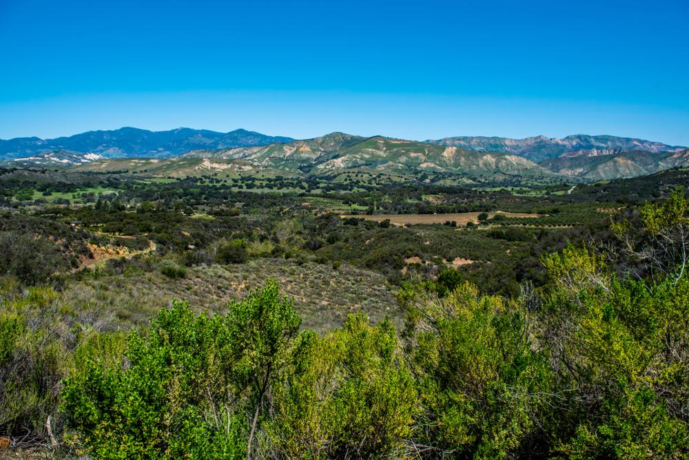
Length: 28 miles
Elevation: 4,864 feet
Number of named peaks: 42
Highest peak: La Cumbre Peak
Situated mainly in Santa Barbara County, the Santa Ynez Mountain Range comprises both the Transverse and Pacific Coast Ranges. Running parallel to the coastline, the range features several gorgeous peaks. The Santa Ynez Peak is the most prominent one in the range, but Gaviota features the most beautiful coastal views.
The mountain range is part of Los Padres National Forest, an outdoor lover’s paradise. Campers love to pitch their tents, hike the forest’s trails, and pamper themselves in the Big Caliente Hot Springs. A trip to the Santa Ynez Mountains is also incomplete without a visit to the charming Danish town of Solvang.
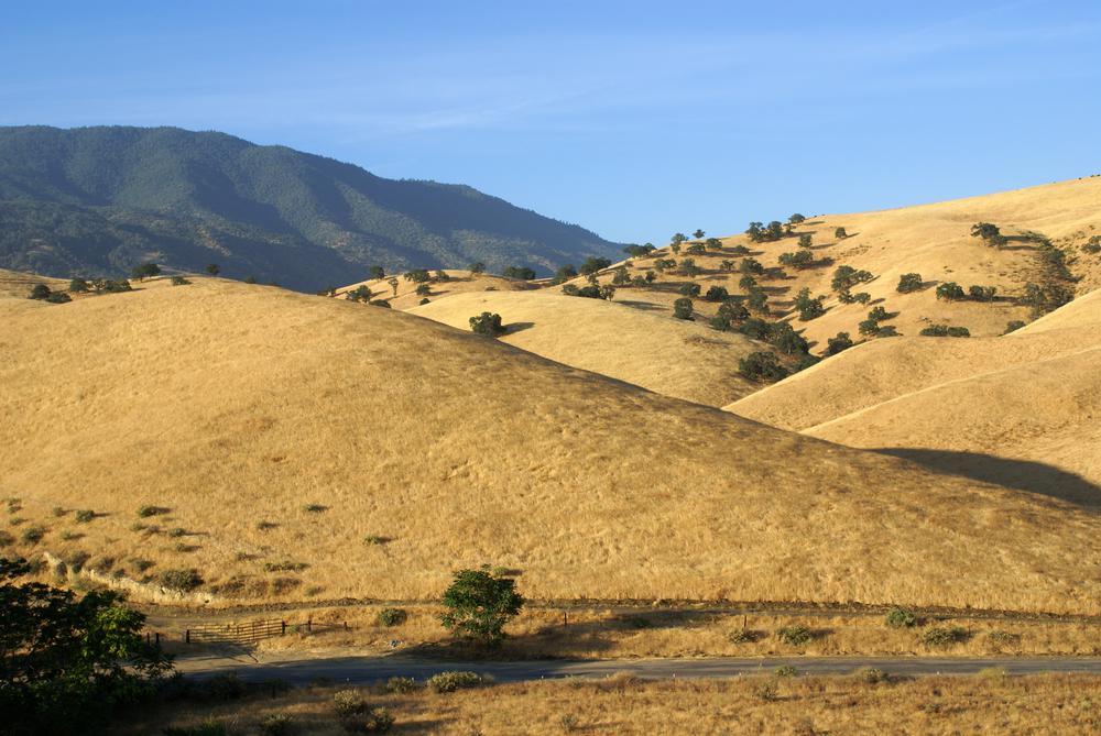
Length: 40 miles
Elevation: 7,981 feet
Number of named peaks: 12
Highest peak: Double Mountain
The Tehachapi Mountains form the boundary between the San Joaquin Valley and the Mojave Desert—the mountain range is known as the unofficial border between SoCal and NorCal. The name “Tehachapi” may have come from the Kawaiisu language, translating into “hard climb.” A crucial wildlife corridor, the Tehachapi Mountains link other Transverse Ranges and the California Coast Ranges with the Sierra Nevada.
The Tehachapi Mountain Park, along with the Tehachapi, Tejon, and Old Creek Passes, are some of the most popular attractions within the range. Visitors find some of the best hiking and horseback riding trails in the area and spend the night by the campfire with their friends.


Never been before? We’ll be your trustee Little Tokyo guide with a day’s worth of fun things to do in Little Tokyo.

People go on Memorial Day weekend getaways as an indirect celebration of life. How do you plan on celebrating the long weekend?
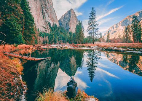
From undulating mountains, to coastal expanses, to verdant forests, here are some of the top spots for backpacking in California.
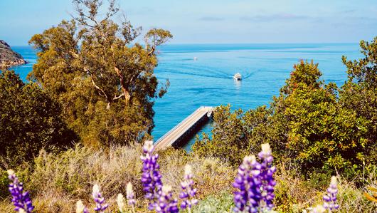
Settled off the California coast, the Channel Islands offer endless adventures. Here are the best things to do and how to get there.

