


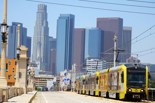
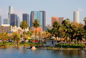

Fun and Free Things to Do in San Francisco
If you're looking for something fun to do, there are plenty of fun and free things to do in San Francisco, use our guide to help make plans.
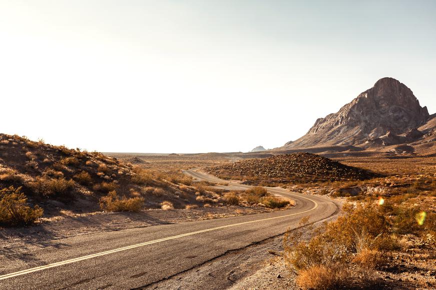
Almost entirely unchanged, the famous Mojave Road is in nearly the exact same condition as the American pioneers found it in the 1800s.
6 min read
May 29, 2021
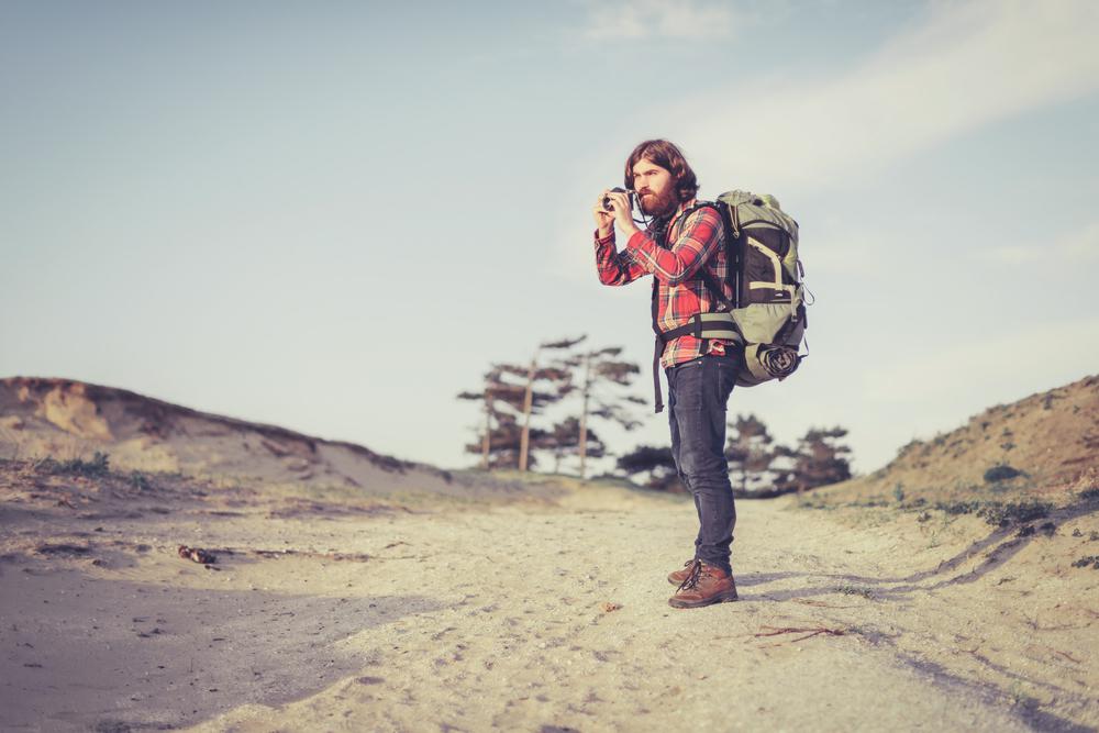
A few places in California remain completely unadulterated by civilization, and the Mojave Road is one of them. Unpaved, untouched, and almost entirely unchanged, the famous Mojave Road is in nearly the exact same condition as the American pioneers found it in the 1800s.
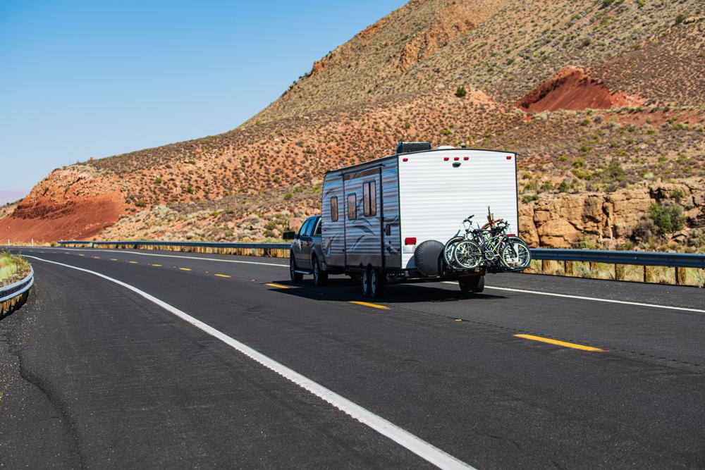
Are you ready for the ultimate desert road trip? Get your 4x4 vehicle ready. If you're covering the entirety of this road, you’re going to need three days, lots of fuel, remote camping essentials, and all the tips and tricks for the ultimate Mojave Road guide.
The Mojave Road Trail gets its name from the Mohave (or Mojave) people, who were the Native Americans indigenous to the lands the road travels through. Initially, the Mojave Road was a trade route used by Native Americans to transport goods from villages along the Colorado River to settlements in Southern California, and vice versa. Later, the road was used by Spanish missionaries and foreign colonizers to travel across the desert, stopping at watering holes found at intervals of about 60 miles.
During the Mexican period in California's history, traders established routes known today as the Old Spanish Trade Routes, which intercepted with the Mohave Trail. During this period, the trail was under Mexico’s control. However, this didn’t last very long—American settlers took over the road after the Mexican-American war in 1848.
Then, the Mojave Road served as the main wagon route for several years. But with the arrival of railroads, easier transportation to the south subdued the road’s popularity. Even during the Westward Expansion to California, the Mojave Road remained comparatively less used as people opted to travel through Donner Pass or the Colorado Desert.
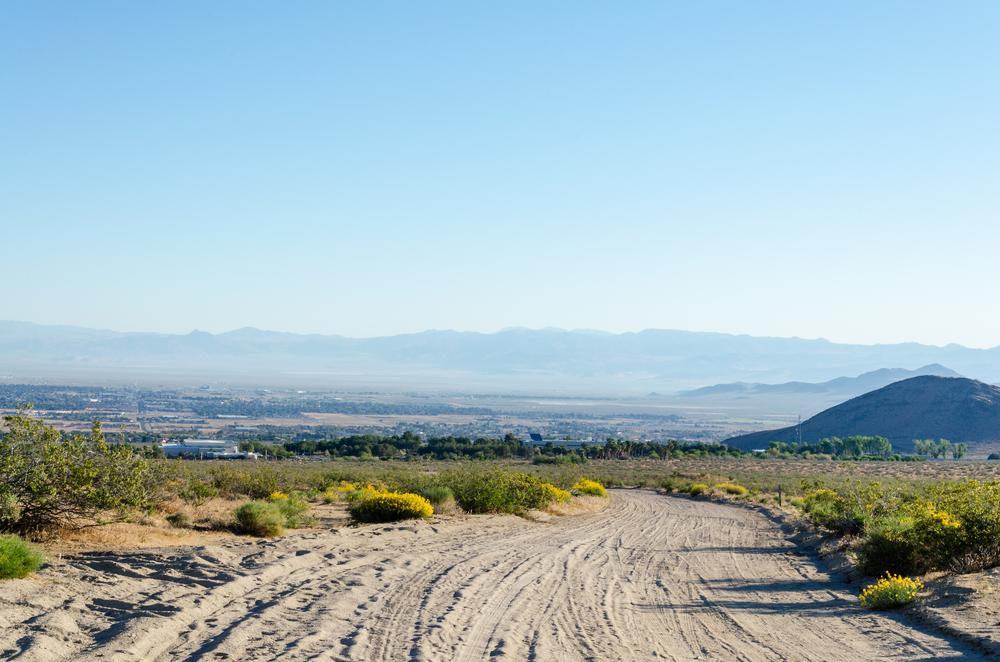
Today, over a century later, the Mojave Road is experiencing its most popular days due to its significant history and unpaved conditions. People primarily hit the road to take advantage of the off-roading opportunities here and experience some of the best things to do in the California deserts.
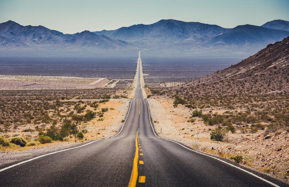
Cruising along the Mojave Road is not recommended for those looking for an easy-breezy getaway. To cover the majority of the route, plan a two- or three-day excursion, mostly along unpaved roads.
The trip begins at the edge of the Colorado River, north of Needles, and heads westward towards Wilmington. Avoid traveling during winter because you can hit a snowstorm. The summer heat—reaching up to 120 degrees—also makes the Mojave Road unbearably hot. Not to mention, thunderstorms, heavy rain, hail, and lightning during peak summer months takes the Mojave Road's difficulty up a notch.
As mentioned earlier, four-wheelers and convoys are recommended to cover the unpaved sections of the road (which are the majority). It’s important to note that your weekend-long adventure is off the grid in the truest sense of the phrase. Think no service, no stores, no hotels, and probably not even a single person along the way. So, make sure you pack everything you need to face the Mojave Road conditions without running into unforeseen challenges.

Safety tips:

You’ll come across plenty of cool landmarks while traveling down the Mojave Road. From East to West, these are the attractions you should mark on your map to check out along the way.
The Colorado River - Mile 0
This is the starting point of your adventure through the desert. The trail officially begins near Beale’s Crossing and is obviously an important marker on your journey.
Piute Creek - Mile 23
A desert oasis will greet you in the Piute Range, where the natural Piute Spring feeds the plants and trees year-round.
Indian Well - Mile 40
At the foot of the southernmost slope of Lanfair Buttes is Indian Well. Near the old well, you’ll find Native American petroglyphs indicating it used to be a water source for an indigenous tribe centuries ago.
Rock Spring - Mile 49
Rock Spring is the biggest watering hole along the Mojave Road, flowing down huge boulders.
Cedar Canyon - Mile 56
At Cedar Canyon, you’ll reach the highest point along your Mojave road trip—hello, 5,000 feet in elevation.
Mojave Road Mailbox - Mile 74
This is a solitary mailbox serving nobody—people stop here to sign their names in the notebook left out for travelers passing by.
Soda Lake - Mile 97
While water can be found beneath the surface of this large lake, Soda Lake near Zzyzx (formally Soda Springs) is usually dry.
Travelers Monument - Mile 100
Marking the 100th mile of the trip, Travelers Monument is a must-see on your road trip. People who make it this far throw a rock to the already existing pile of easily noticeable rocks. Make sure to pick up a rock along the way to leave your mark as well.
Rasor Off-Highway Vehicle Use Area - Mile 103
Off-roading fans rejoice—this public use area is the perfect spot to take your OHV vehicle for a spin.
Manix Wash - Mile 133
Manix Wash is the exit point of the Mojave Road. Congrats, you made it all the way!
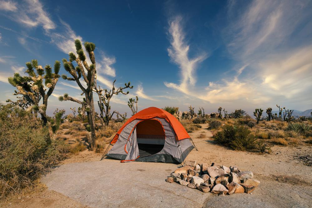
In true Mojave Road fashion, camping overnight is also fairly primitive along the way. In other words, desert glamping isn’t a possibility here. However, some of the best remote desert camping spots are found in the Mojave Preserve. The key is to make sure you have all the necessities you need to power through the extremely dry weather with zero amenities in sight for miles.
Camp at 4,400 feet in elevation surrounded by sculptured volcanic rock walls at one of the only two available developed campgrounds along the Mojave Road. Here, you’ll find toilets, trash receptacles, fire rings, and picnic tables available for tired travelers. There are 35 campsites accommodating RVs and tents, and two walk-in sites are also available—all on a first-come, first-serve basis.
At 5,600 feet in elevation, Mid Hills is relatively cooler than Hole-in-the-Wall. This Mojave Road camping site boasts all the same amenities as the previous one, but it isn’t recommended for motorhomes or trailers. Don’t forget to bring your own water as well—Mid Hills provides no water, whatsoever.
Several undeveloped campsites can be found along the road and throughout the Mojave Preserve. While no official indicator marks the undeveloped campgrounds, camping is still only allowed on previously used or disturbed sites. Look out for metal or rock fire rings to figure out where you can camp.
Several primitive campgrounds can be found along Kelbaker Road, Kelso Dunes Road, Cima Road, and Black Canyons Road. The best part? Reserving in advance isn’t required for any of the Mojave Road camping sites, so you can pack your bags and go anytime.

If you're looking for something fun to do, there are plenty of fun and free things to do in San Francisco, use our guide to help make plans.

Finding a wall isn't the problem. The problem is figuring out which gym fits your lifestyle the best.

The leagues, the stadiums, how to watch, how to get tickets. Consider this your starting point.
What are you waiting for? Pack up your camping essentials and head over to the best campgrounds California has to offer.

