5 Things to Do in Little Tokyo, California
Never been before? We’ll be your trustee Little Tokyo guide with a day’s worth of fun things to do in Little Tokyo.
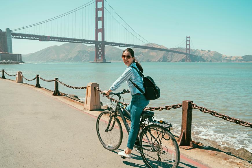
In the mood to go on an exhilarating bike ride? Check out these San Francisco bike routes for scenic views and plenty of excitement.
We’re never too tired for a bike ride in San Francisco. The City by the Bay offers some of the best panoramas in the country—rolling hills, expansive shoreline, and countless scenic landmarks greet you en route. If you don’t ride a bike often (or know how to ride yet), don’t worry: As one of the most bike-friendly cities in the country, S.F. is the perfect place to discover your passion for cycling.
There are miles and miles of bike paths in San Francisco—your options for exploring the city are endless. All you need is a little motivation; decide the type of scenery you’d like to view along the way, then get your wheels turning on these must-ride San Francisco bike routes.
The Top San Francisco Bike Trails
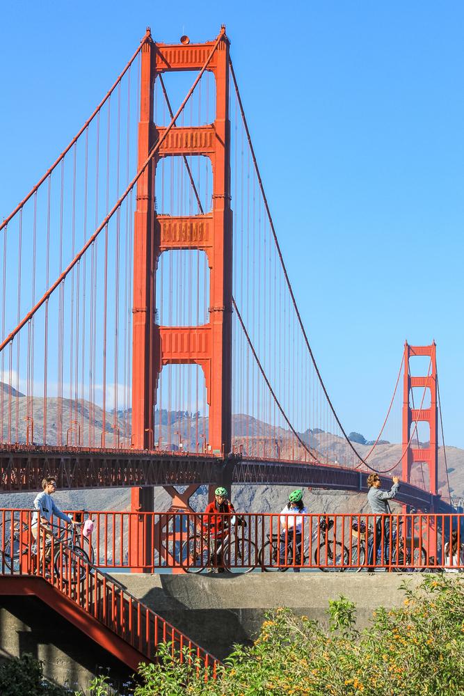
Location: Golden Gate Bridge, San Francisco
Difficulty: Moderate
Distance: 11.7 miles
Time: 40 minutes–1 hour and 30 minutes
Route: Loop
The Golden Gate Bridge Bike Trail is a classic—it’s probably the most famous bike path in San Francisco. The paved route makes for one of the best bike rides the city has to offer. Cycling on this exhilarating trail quickly becomes like riding a roller coaster as you climb to the top of the headlands and descend the extremely steep hill. The views along the way are out of this world; it’s no wonder the loop trail is among the Golden State’s top bike rides.

Does your business rank among the best in California?
nominate a businessLearn more about our selection criteria and vetting process.
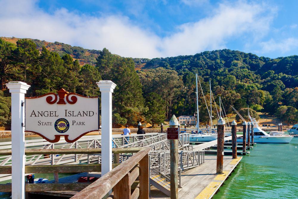
Location: Angel Island State Park, Tiburon
Difficulty: Moderate
Distance: 6 miles
Time: 30–45 minutes
Route: Loop
When it comes to scenery, the Angel Island Perimeter Loop does it best. The Tiburon Peninsula, the Golden Gate Bridge, the dramatic S.F. skyline, and Alcatraz Island are only a few of the many sights that come into view. This bike path begins and ends at Ayala Cove; from start to finish, the ride is pure magic. Exploring Angel Island on two wheels deserves a spot on your S.F. bucket list.
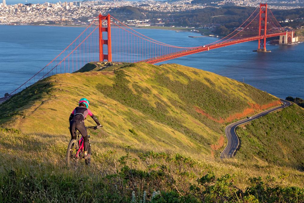
Location: Mount Tamalpais Watershed, Mill Valley
Difficulty: Difficult
Distance: 13.7 miles
Time: 1 hour–1 hour and 30 minutes
Route: Out and back
The best way to get to the top of Mount Tamalpais is by riding your mountain bike on the Old Railroad Grade. This San Francisco bike route is anything but flat, though the grade is quite gentle. Known as the “Crookedest Railroad in the World,” the Old Railroad Grade takes you through forests and past the West Point Inn on the way up to the top. Once you reach the summit, soak in the spectacular views of the Bay. It goes without saying that the Old Railroad Grade is one of the most epic mountain biking trails in the Bay Area.
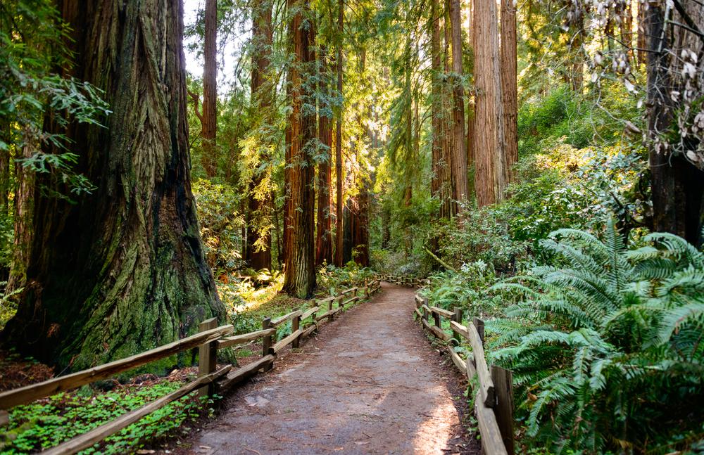
Location: Mount Tamalpais State Park, Mill Valley
Difficulty: Moderate
Distance: 14.2 miles
Time: 1 hour
Route: Loop
The Muir Woods Cycle Loop is a gorgeous San Francisco bike trail that features vibrant wildflowers and undisturbed forests. Locals call this route “lunch ride” since it takes about an hour to complete. This iconic Marin County route passes through the Golden Gate National Recreation Area and Muir Woods National Monument. The best part about this bike path is that you can ride it both clockwise and counterclockwise.
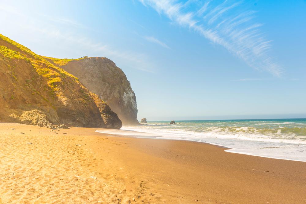
Location: Marin Headlands, Sausalito
Difficulty: Moderate
Distance: 3.4 miles
Time: 20–30 minutes
Route: Out and back
Who wouldn’t want to view the sparkling waters of the ocean and the rolling hills of the Tennessee Valley while riding a bicycle? If you’re looking for a short bike ride, the Tennessee Valley Bike Path is the perfect option. The picturesque, partially paved trail features gorgeous wildflowers and is home to bobcats, deers, and roaming coyotes. The best part about this Sausalito bike path is the end—a mystical beach with grand rock formations is the cherry on top. There’s nothing better than biking to the beach and rewarding yourself with a well-deserved break by the ocean water.
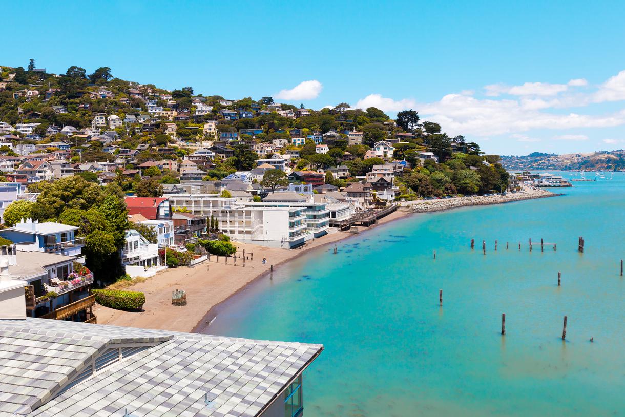
Location: Sausalito
Difficulty: Moderate
Distance: 26 miles
Time: 1 hour and 30 minutes–2 hours
Route: Loop
Paradise Loop is the ultimate Sausalito bike path. Offering cyclists the chance to view wildlife, the trail boasts jaw-dropping vistas of the Bay and city skyline. While other San Francisco bike routes have views of well-known landmarks, Paradise Loop offers a glimpse into the hidden gems near the city—charming houseboats along Richardson Bay and luxurious homes by the Tiburon Peninsula expose the undiscovered side of the Bay Area. Start your journey at the foot of the Golden Gate Bridge and make your way through the beautiful town of Sausalito; it’ll be a ride you won’t soon forget.

Location: Shorebird Park, Foster City
Difficulty: Moderate
Distance: 10.3 miles
Time: 1 hour–1 hour and 30 minutes
Route: Point to point
Leave it to the San Francisco Bay Trail to blow our minds. This bicycle and pedestrian trail will eventually span over 500 miles of paved roads—linking 47 cities across nine counties and crossing seven toll bridges. As of 2020, 356 miles of the San Francisco Bay Trail have been completed, and the Foster City and San Mateo Bikeways are our favorite routes. With scenic views of the Bay, you get to ride your bicycle while airplanes fly over you and sailboats glide alongside you.
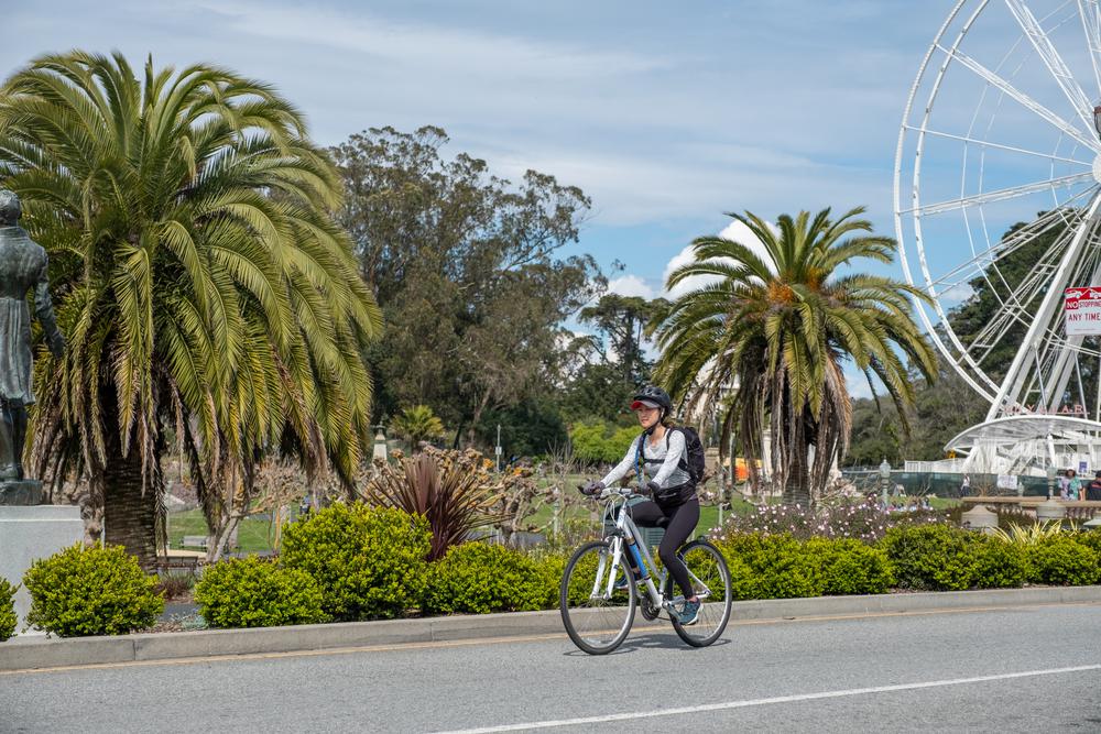
Location: Golden Gate Park, San Francisco
Difficulty: Moderate
Distance: 6.3 miles
Time: 30–45 minutes
Route: Loop
The third most visited park in the U.S. is Golden Gate Park, which features a number of prominent attractions. Naturally, biking here is a must. This flat bike route in San Francisco leads you to the California Academy of Sciences, Conservatory of Flowers, de Young Museum, and the Japanese Tea Garden. A wide variety of flora and fauna complement the bike route and enhance your experience. There's plenty of shade to protect you from the sun, too. Given the numerous side trails in the park, you can easily go on another adventure.
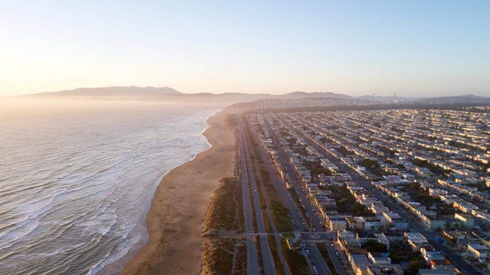
Location: Great Highway, San Francisco
Difficulty: Moderate
Distance: 3.5 miles
Time: 20–30 minutes
Route: Point to point
Riding the Great Highway Bike Path is always a good idea. There’s nothing like inhaling the crisp coastal air of S.F. and using it to fuel your pedal power. The Great Highway Bike Path runs north-south along the Pacific Coast of San Francisco. Cyclists love biking on this route—a little city traffic every now and then offers a nice change of scenery. If you enjoy going to the beach, hop on your California-made bicycle and let the refreshing wave of ocean air blow through your hair.


Never been before? We’ll be your trustee Little Tokyo guide with a day’s worth of fun things to do in Little Tokyo.
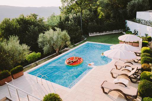
People go on Memorial Day weekend getaways as an indirect celebration of life. How do you plan on celebrating the long weekend?
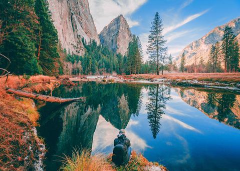
From undulating mountains, to coastal expanses, to verdant forests, here are some of the top spots for backpacking in California.
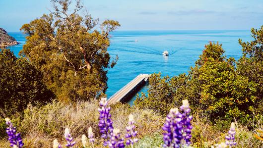
Settled off the California coast, the Channel Islands offer endless adventures. Here are the best things to do and how to get there.

