


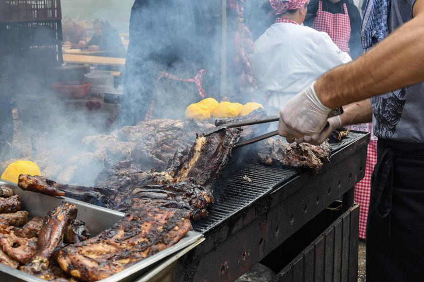


Fun and Free Things to Do in San Francisco
If you're looking for something fun to do, there are plenty of fun and free things to do in San Francisco, use our guide to help make plans.
California's hiking trails are never-ending, but here's a special one: the coolest hiking trails in Mount Tamalpais State Park await!

5 min read
March 08, 2022
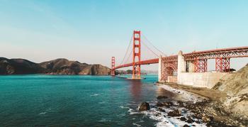
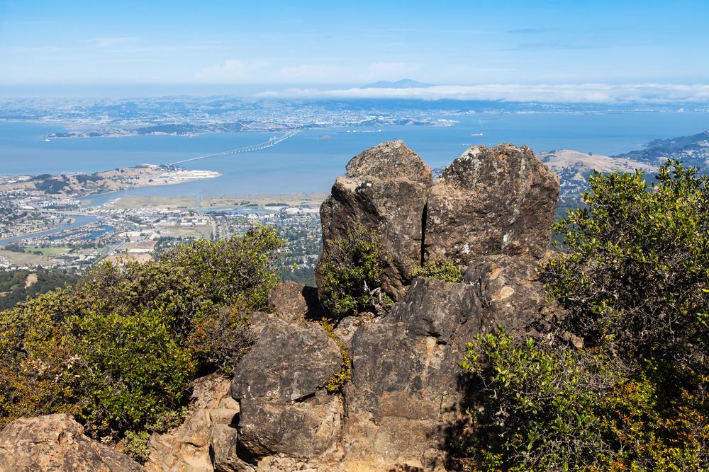
Rising regally from the heart of Marin County, Mount Tamalpais is a mighty presence to behold: 2,571 feet of grandness reaching the Golden State sky. NorCal visitors rush to view the peak in all its glory. As a Marin County symbol, Tam—how locals refer to it in Bay Area slang—is protected by the namesake state park. Vast grasslands, remarkable oak woodlands, and massive redwood forests cover Mount Tamalpais State Park, with scenic views of San Francisco Bay, the Farallon Islands, and even Mount Diablo peeking out every now and then.
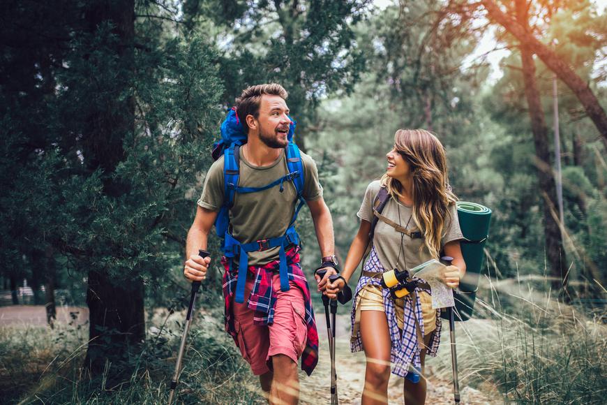
With so much to discover, it only makes sense that you explore this Bay Area attraction on foot. And it just so happens that hiking the Mt. Tam trails is one of the most fun things to do in Northern California. Each trail promises a unique experience, so prepare your hiking gear, because your favorite outdoor activity is about to get all the more exciting.
Difficulty: Moderate
Distance: 0.6 miles
Time: 30 minutes
Route: Loop
Dogs allowed: No
Mount Tamalpais East Peak is one of the most hiked trails in Mount Tamalpais State Park. Despite not being the easiest to trek, the hike is pretty short and promises rewarding views along the way. Your hike starts at the upper parking lot and continues with a challenging incline to the top for just 0.6 miles—bearable, right? You’ll pass by colorful wildflowers that make your hike a pleasant journey, but the best part is at the very end, where breathtaking views of the bay and the Golden Gate Bridge emerge on a clear day.
Difficulty: Moderate
Distance: 5.7 miles
Time: 3 hours
Route: Out and back
Dogs allowed: No
Another local favorite Mount Tamplais hike is Dias Ridge. Begin your journey at Four Corners in Mill Valley and from there, descend towards Muir Woods. The hike starts out pretty smooth but becomes rockier with every mile. Along the way, you’ll be treated to spectacular views of the coast and Mt. Tamalpais. Keep in mind that this is a crowded trail, so prepare to encounter mountain bikers and horseback riders on your journey.
Difficulty: Moderate
Distance: 10.5 miles
Time: 5 hours and 30 minutes
Route: Loop
Dogs allowed: No
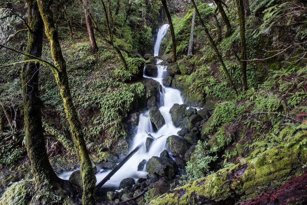
The Muir Woods Redwood Creek Trail is truly one of the best Mt. Tam hikes you’ll ever trek. Don’t let the length of the trail phase you out; the hike isn’t as difficult as you think it is. The trail boasts flowing creeks and even a waterfall, so make sure to snap photos at this Instagrammable Bay Area destination. Feel free to make as many stops along the way to soak in the beautiful ocean views.
Difficulty: Hard
Distance: 8 miles
Time: 4 hours 40 minutes
Route: Loop
Dogs allowed: No
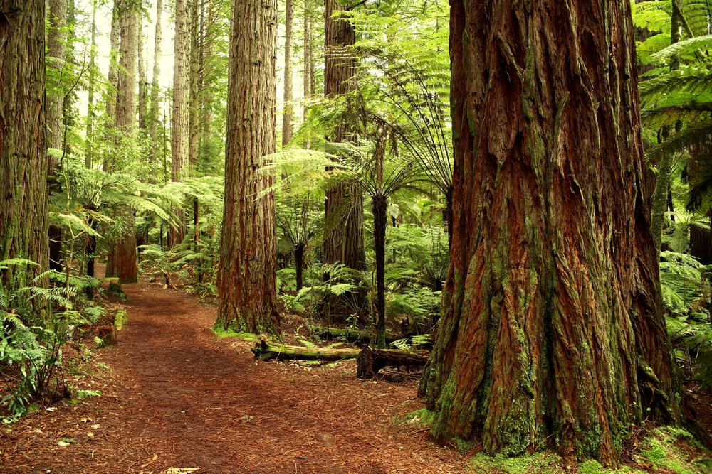
Seeking a good challenge? Trek one of the hardest Mt. Tamalpais hikes in the state park, Bootjack Loop Via Mountain Home Inn. Park your car at Panoramic Drive and then make your way towards the Bootjack Trail. As you embark on the adventure, towering redwoods protect you from the sun and provide much-needed shade to all hikers. The way back is a lot easier, but it's a two-mile incline—make sure to rest well before returning.
Difficulty: Easy
Distance: 4.4 miles
Time: 1 hour and 50 minutes
Route: Out and back
Dogs allowed: No
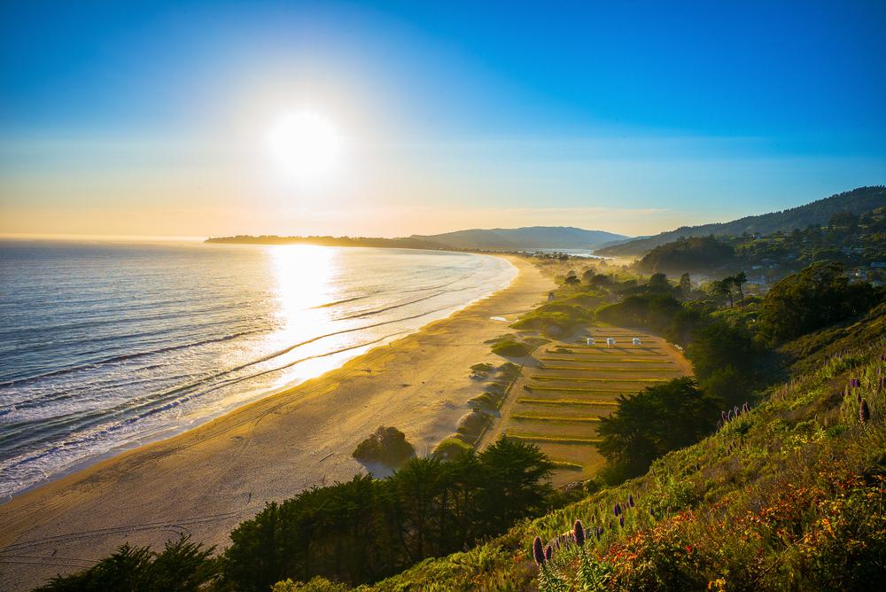
Not only is Stinson Beach one of the best coastal hiking trails in California, but it’s also a great hike to go on in the summer. The kid-friendly trail features a number of picnic spots, which is why we recommend packing a few healthy snacks to munch on during the hike. With sweeping views of the roaring Pacific, this trail can even pass as a lovely stroll you can go on at any time of the day.
Difficulty: Moderate
Distance: 1.8 miles
Time: 1 hour and 10 minutes
Route: Out and back
Dogs allowed: No
The Redwood Trail takes you through gorgeous landscapes of redwood and chaparral shrubs, which are ideal for wildlife viewing and birdwatching. The beginning is a steep, paved incline, followed by an easy dirt path you can smoothly tackle. If you feel like extending your journey, this hike connects you with other paths such as the Sun Trail.
Difficulty: Moderate
Distance: 3.1 miles
Time: 1 hour and 40 minutes
Route: Out and back
Dogs allowed: No
The Troop 80 Trail is a heavily shaded Mount Tamalpais hike that isn't too crowded. The hike features a gentle incline, making it challenging enough for you to squeeze in a workout without actually getting too tired. You’ll encounter dense forests along the way, where you can take a short break and admire the natural beauty surrounding you.
Difficulty: Moderate
Distance: 2.6 miles
Time: 1 hour and 40 minutes
Route: Out and back
Dogs allowed: No
Despite having noticeable elevation changes, this Mt. Tamalpais hike is paved for the most part, making it easy to tackle. The Alice Eastwood Trail takes you through lush forests and redwood groves that feel like they’re out of this world. With flourishing greenery following you every step of the way, you’ll be in awe once you view it all from the top—jaw-dropping panoramas of the redwoods and forest floor will make you want to hike this trail again.
Difficulty: Easy
Distance: 1.2 miles
Time: 30 minutes
Route: Loop
Dogs allowed: No
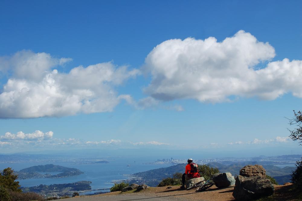
The Verna Dunshee Loop in Mount Tamalpais State Park offers panoramic views with minimum effort. This short and easy hike is kid and wheelchair-friendly—you’ll see a lot of people going for runs here in the mornings. On a clear day, you’ll be exposed to striking views of San Francisco, Marin County, and even San Jose and Sonoma County.

If you're looking for something fun to do, there are plenty of fun and free things to do in San Francisco, use our guide to help make plans.

Finding a wall isn't the problem. The problem is figuring out which gym fits your lifestyle the best.
What are you waiting for? Pack up your camping essentials and head over to the best campgrounds California has to offer.

The leagues, the stadiums, how to watch, how to get tickets. Consider this your starting point.

