


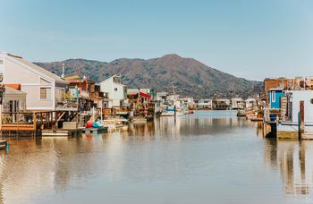
Fun and Free Things to Do in San Francisco
If you're looking for something fun to do, there are plenty of fun and free things to do in San Francisco, use our guide to help make plans.

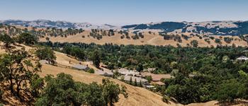
When it comes to East Bay hikes, it doesn’t get much better than the scenic and diverse trails of Mount Diablo State Park.
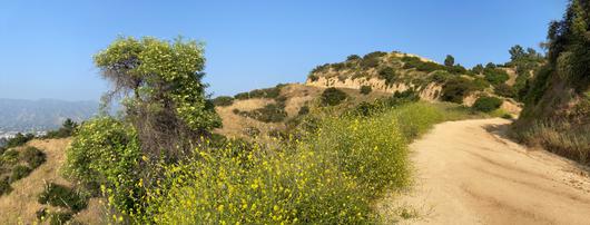
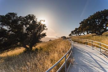
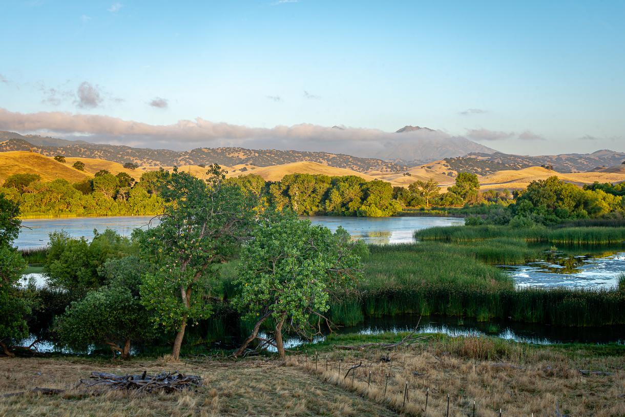
When it comes to East Bay hikes, it doesn’t get much better than the diverse trails of Mount Diablo State Park. Featuring brilliant wildflowers and waterfalls in the springtime as well as intriguing rock formations, wooded groves, and panoramic vistas year-round, Mount Diablo is a must–see destination in beautiful Contra Costa County.
Mount Diablo is one of California’s most underrated state parks—offering everything from camping and hiking, to biking and horseback riding, to picnicking and geocaching—so regardless of the type of outdoor recreation you’re after, you’ll find it here. With over 75 trails and 20,000 acres to explore, the park provides endless adventures for every nature enthusiast.
Acres: 20,000
Number of trails: 75-plus trails and roads for hiking, biking, and horseback riding
Trail distance: 150-plus miles of hiking, biking, and equestrian roads and trails
Hours: 8 a.m. to sunset
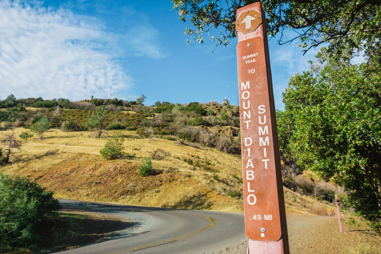
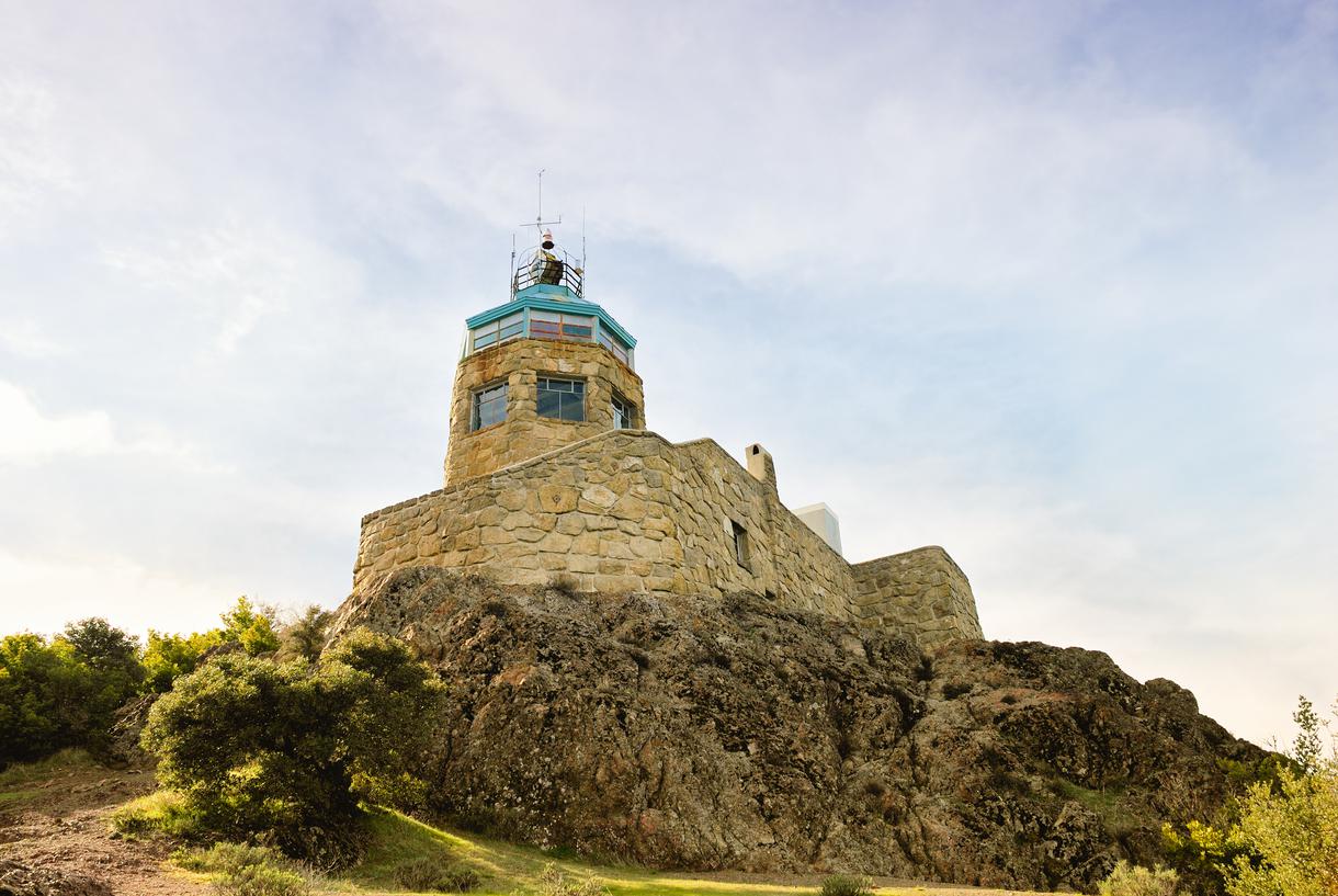
The Mount Diablo Summit is only 11 miles away from Shell Ridge Open Space in Walnut Creek—but don’t let the short distance fool you. You’ll need to drive for about 24 minutes along North Gate Road, then continue onto Summit Road for another 16 minutes before arriving at the Mount Diablo Summit Museum and Trailhead.
North Gate Road Entrance
Getting here: 1300 North Gate Road, Walnut Creek
Fees: Parking – $10.00 per vehicle
Payments accepted: Cash or check (anytime) and debit or credit card (when the kiosk is staffed)
You can also get to Mount Diablo State Park from the following alternative entrances:
Macedo Ranch Staging Area
Getting here: 3756 Green Valley Road, Alamo (no vehicle access to the Summit)
Fees: Parking – $6.00
Payments accepted: Cash or check
Mitchell Canyon Staging Area
Getting here: 96 Mitchell Canyon Road, Clayton (no vehicle access to the Summit)
Fees: Parking – $6 per vehicle
Payments accepted: Cash or check
South Gate Road Entrance
Getting here: 2675 Mt. Diablo Scenic Boulevard, Blackhawk
Fees: Parking – $10.00 per vehicle
Payment accepted: Cash or check (anytime) and debit or credit card (when kiosk is staffed)
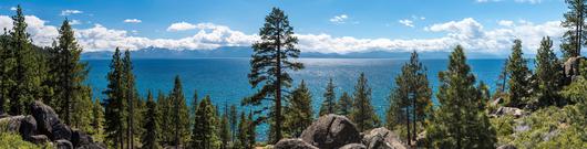
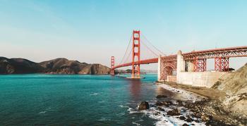
Some of the most notable attractions in this Bay Area state park are the spectacular panoramic views. Droves of visitors head straight to the summit of Mount Diablo to take in the sights from 3,849 feet; especially breathtaking after winter storms, the vistas showcase California’s unique landscape. On a clear day, visitors can see San Francisco’s Golden Gate Bridge, Loma Prieta in the Santa Cruz Mountains, and Mount Lassen in the Shasta Cascade region—revealing 8,539 square miles of the Golden State.
Mount Diablo is a dominant peak situated along the San Andreas Fault. Most of the mountain’s core is composed of ophiolite, which originates where oceanic plates meet continental plates in the center of the ocean. While it’s hard to imagine now—due to its location between the suburban cities of Walnut Creek, Danville, Clayton, and Alamo—the towering Mount Diablo used to be underwater; most of the mountain consists of oceanic crust, solidified underwater lava, marine fossils, caves, and serpentinite (California’s official state rock). The peak also continually changes and grows, because the Mount Diablo thrust fault lies beneath the natural landmark and is sandwiched between the Greenville and Concord faults. So, there’s always something new to see.
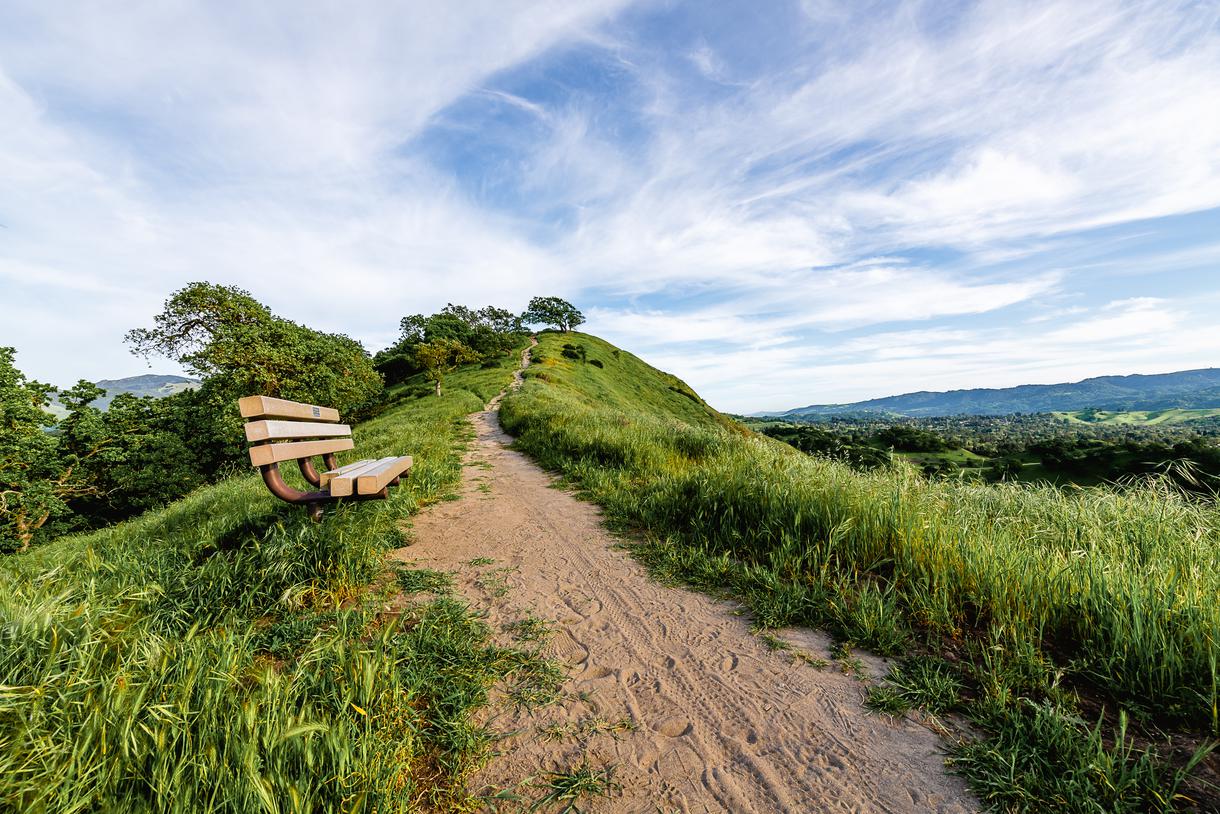
Thanks to its unique composition and the current plate tectonics theory, Mount Diablo is thought to have started out thousands of miles southwest of its current location—but we’re glad it’s now home to some of the best East Bay hikes. Along with the sweeping views, distinct geological features, diverse wildlife, and numerous plant species, Mount Diablo State Park’s many trails provide endless opportunities for outdoor adventure. Hike the park’s 37 moderate trails, including the Wall Point – Pine Canyon Loop, Falls Trail (one of the best East Bay waterfall hikes), and Donner Creek Loop Trail.
Before you leave the park, check out these other popular spots and East Bay hiking trails:
If you’ve visited Mount Diablo State Park, share your favorite trails and vista points in the comments below.

If you're looking for something fun to do, there are plenty of fun and free things to do in San Francisco, use our guide to help make plans.

Finding a wall isn't the problem. The problem is figuring out which gym fits your lifestyle the best.

What are you waiting for? Pack up your camping essentials and head over to the best campgrounds California has to offer.

The leagues, the stadiums, how to watch, how to get tickets. Consider this your starting point.

