


Fun and Free Things to Do in San Francisco
If you're looking for something fun to do, there are plenty of fun and free things to do in San Francisco, use our guide to help make plans.

Spanning two-thirds of the Golden State, California’s Coast Ranges hold a few priceless gems (the world’s tallest trees, hello?).
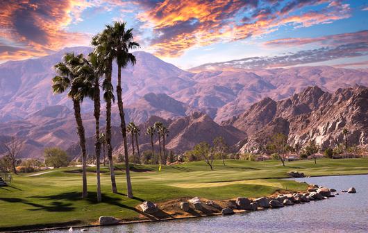
Ever heard the Andy Rooney quote “everyone wants to live on top of the mountain, but all the happiness occurs while you’re climbing it”? Well, Rooney might have hit the nail on the head—that is if he was talking about California’s majestic Coast Ranges. Spanning two-thirds of the Golden State and extending from NorCal’s redwood wilderness all the way to Santa Barbara, these mountains hold a few priceless gems (the world’s tallest trees, hello?). Venture off on the northern side for maritime climate and coastal fog, or bask in the desert-like climate on the eastern slopes hugging the Central Valley—you’ll leave your whole heart here regardless of the terrain you prefer.
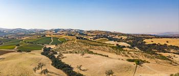
The climate in the northern Coast Ranges is usually characterized by cool, dry summers and mild, wet winters. However, when you travel south, you’ll see a change in climate as everything gets progressively drier—furthermore, the variability of wintertime precipitation becomes greater. Forests along the coast of Southern Oregon and Northern California are all flanked by giant redwoods; if you go further inland, a mixed array of broad-leaved hardwoods pop up.
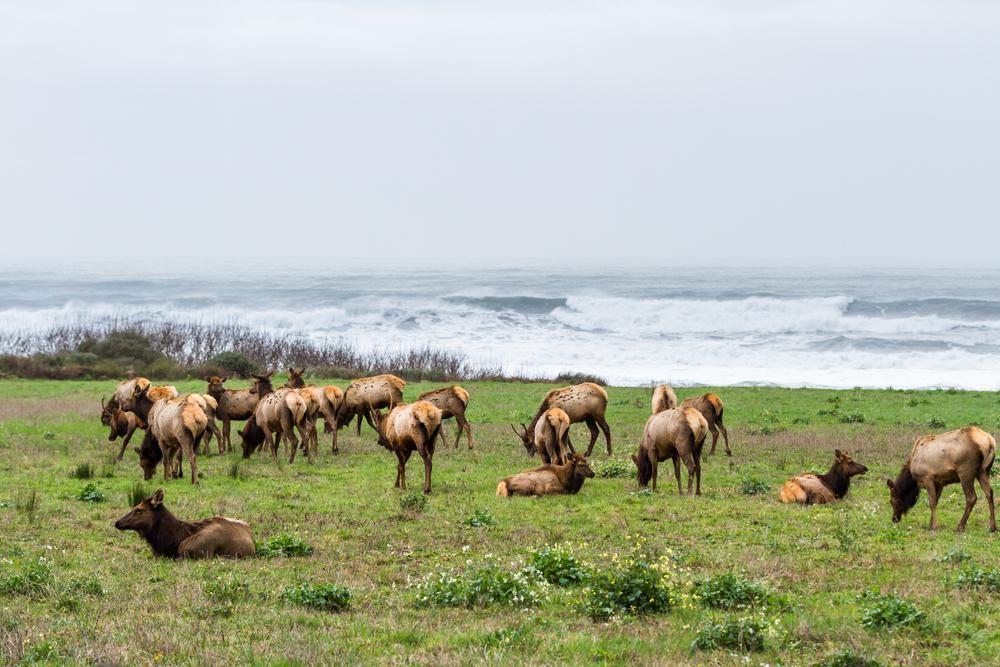
Mammals such as bears, elk, and deer are permanent inhabitants of California’s coastline. But did you know that the area is also known for its numerous sightings of Bigfoot? Okay, maybe we can’t exactly confirm the whereabouts and/or existence of this hairy humanlike occupant, but we can tell you that beavers, muskrats, rabbits, and bobcats are also found in the Coastal Ranges—and this time we’re sure. But if you’d like to prove us wrong (or right), feel free to explore the mountains for a groundbreaking discovery.
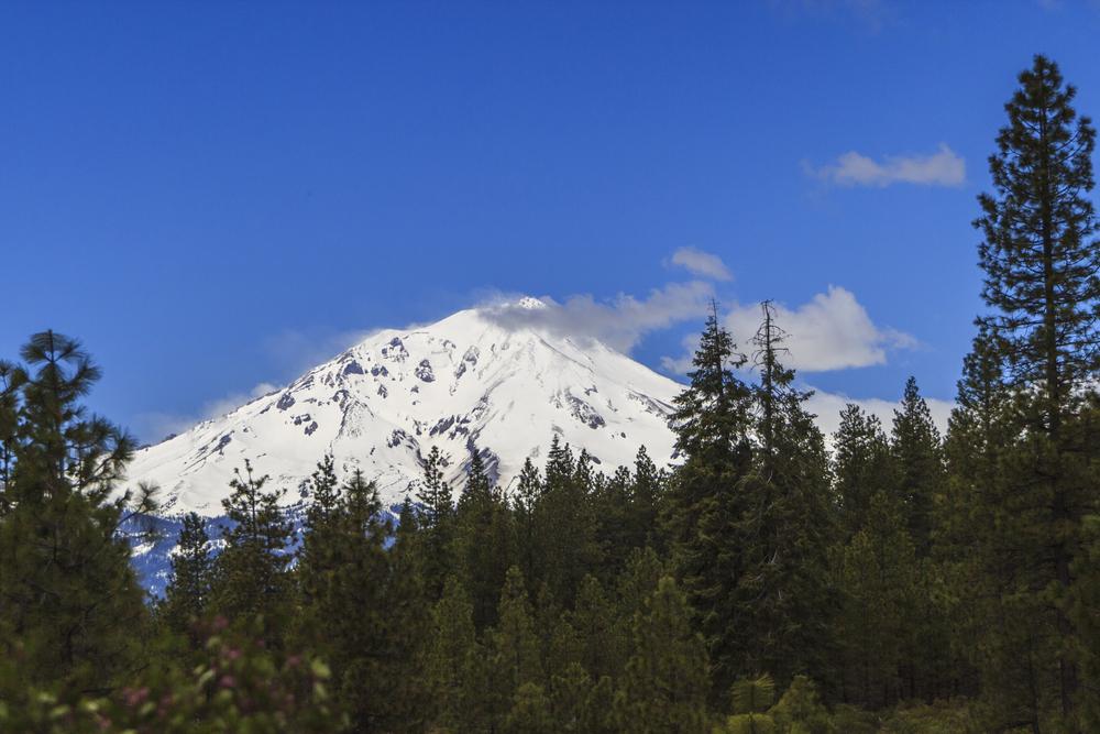
Straddling the Oregon-California border, the Klamath Mountains are both geologically older and extremely distinct—they stand significantly taller than the Coast Ranges. Lush forests stretch as far as the eye can see, enveloping visitor favorites such as the Trinity Alps, Trinity Mountains, Siskiyou Mountains, and Marble Mountains; all of these have peaks rising to a dizzying 9,000 feet.
The mountain range is composed of terranes—these are slivers of ocean crust and island masses, which, over time, have morphed into a fascinating bouquet of rocks. Marble, serpentine, and granite-bearing grounds are like a gold mine for the geology-curious; all the more reason to plan that mountain hiking trip.
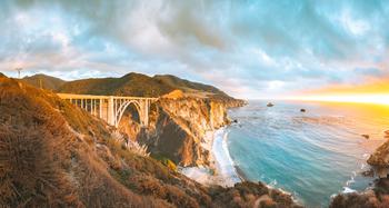
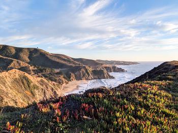
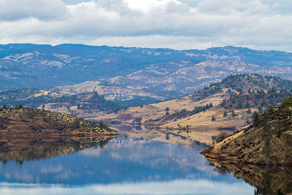
Running north-to-south and parallel to the coast, the Northern Coast Ranges are mesmerizing in more ways than one. The 101 serpents along postcard-perfect valleys are all located between the Inner and Outer ranges; they are marked by the Eel River to the north and the Russian River to the south (oh, the rafting possibilities). Travel closer to the coast, however, and you’ll find yourself in a forestry wonderland with redwoods, Douglas-firs, and ponderosa pine as you’re shielded from the outside world. And what better place to experience all the lushness than at Redwoods National Park—a serene hideaway stretching 37 miles along the Pacific coastline.
Another perk of the region is its abundance of volcanic activity. The Sonoma Volcanic Field, for instance, is located at the northern end of the Napa and Sonoma Valleys. Its residual heat is illustrated by the Old Faithful Geyser of California. And Clear Lake Volcanic Field—active for about 11,000 years—is about 90 miles from San Francisco. Host to the world’s most productive geothermal energy power plants, the volcanic field supplies energy for all the 850,000 homes in the region.
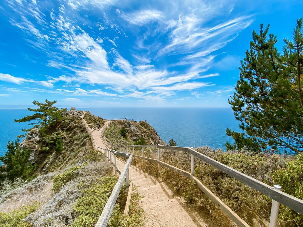
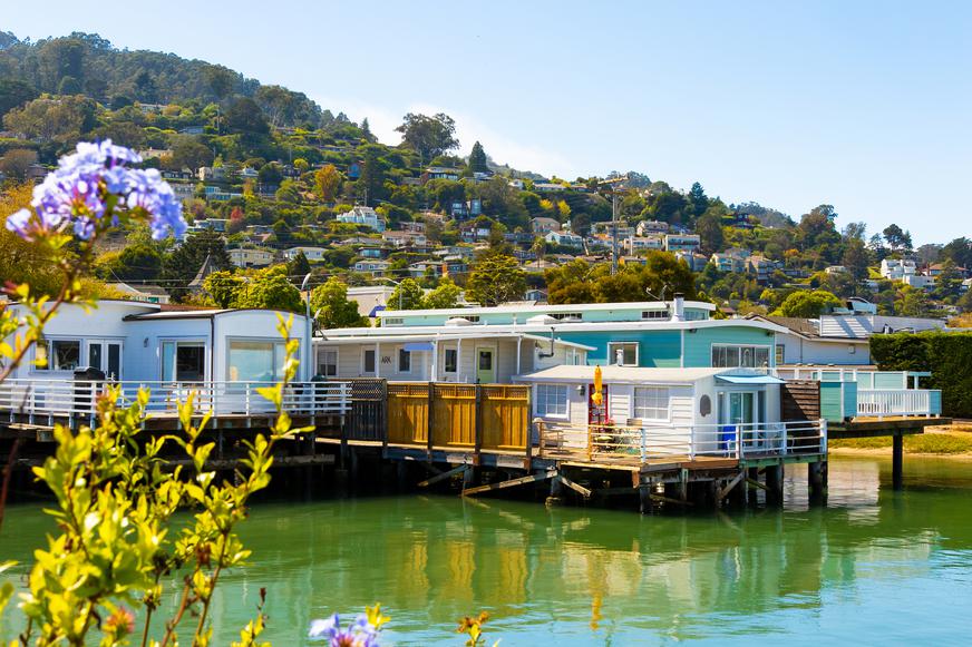
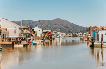
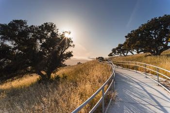
Since San Francisco is essentially the dividing line between California’s coast range mountains, taking a closer look at its terrain will (hopefully) give us valuable insight into the mystery that is the Golden State landscape. Despite hosting more than seven million people in nine counties, most of the land in the Bay Area is open space. And if you know anything about San Francisco’s nature, you know you’re in for something truly grand. Inhale fresh eucalyptus, admire the open cliff panoramas, stunning ocean vistas, and exhilarating mountain hikes; but where exactly should you start?
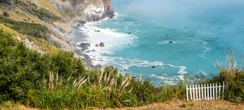
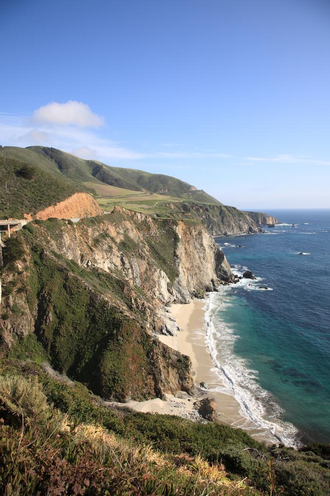
San Francisco Bay floods the Sacramento River Valley, where the Golden Gate Canyon was carved through the Coast Ranges. Travel north and you’ll find the Muir Woods National Monument and Point Reyes National Seashore—an oasis for outdoor lovers. Ocean breakers crash against the rocky headlands, making the expansive sand beaches at Point Reyes a front-row seat to Mother Nature’s splendor.
Perhaps the most interesting thing about this divider region is that the Salinan Block—a type of terrain composed of continental crustal rocks like granite and marble—is a major similarity between the California Coast Range and the Sierra Nevada. Both of them come from the same ancestral Cordilleran volcanic arc from the Mesozoic Era; this is practically impossible in the vastly diverse Golden State landscape.
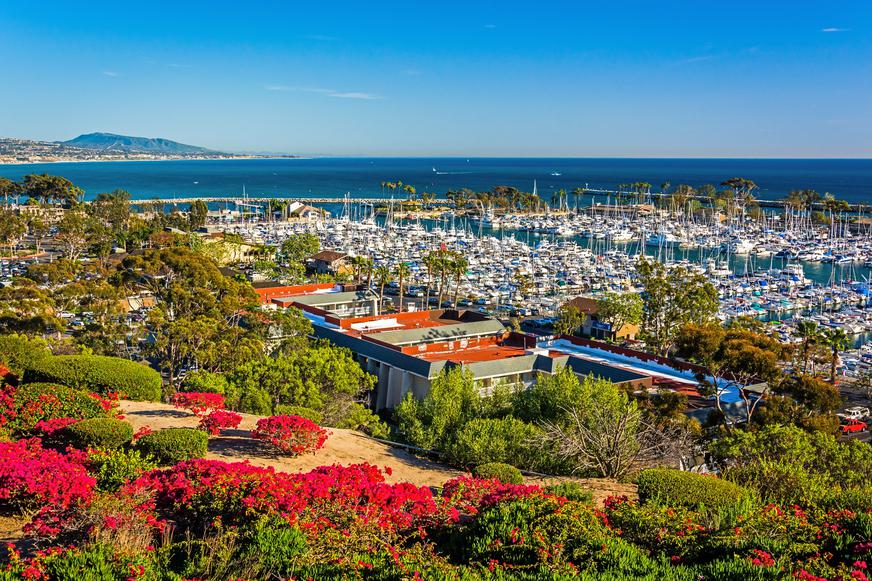
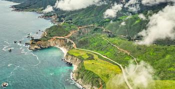
The Southern Coast Ranges sit parallel to the Pacific Coast, nestled between San Francisco Bay to the north, Central Valley to the east, the Transverse Ranges to the south, and the Pacific Ocean to the west—-not too shabby if we say so ourselves. Here, you’ll find the Berkeley Hills, Mount Diablo, the Santa Cruz Mountains, and Diablo Range (this one is of the San Francisco Bay Area).
Traverse the highest mountain peaks along a series of picturesque valleys and ridges. But don’t let the views carry you fully away though, the slopes are pretty steep here. The highest peak at the San Rafael Range is Mount Pinos, standing tall at 8,826 feet of elevation. Climb up there and look out onto the horizon—the intermixed scent of the ocean salt and alpine air will put every single real-life stressor at ease.
In other, non-nature sightings, Mission San Juan Bautista was built near the Pajaro Gap on the San Andreas Fault—it became known as the first earthquake-engineered building in the United States. The building itself is a ticket back in time to Alta California; yes, that’s right, your mountain getaway can take you to places that literally defy the concept of time.

If you're looking for something fun to do, there are plenty of fun and free things to do in San Francisco, use our guide to help make plans.

Finding a wall isn't the problem. The problem is figuring out which gym fits your lifestyle the best.
What are you waiting for? Pack up your camping essentials and head over to the best campgrounds California has to offer.

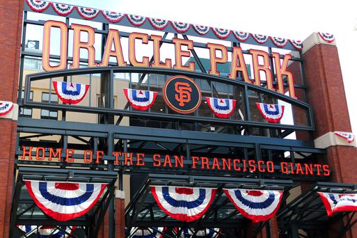
The leagues, the stadiums, how to watch, how to get tickets. Consider this your starting point.

