5 Things to Do in Little Tokyo, California
Never been before? We’ll be your trustee Little Tokyo guide with a day’s worth of fun things to do in Little Tokyo.
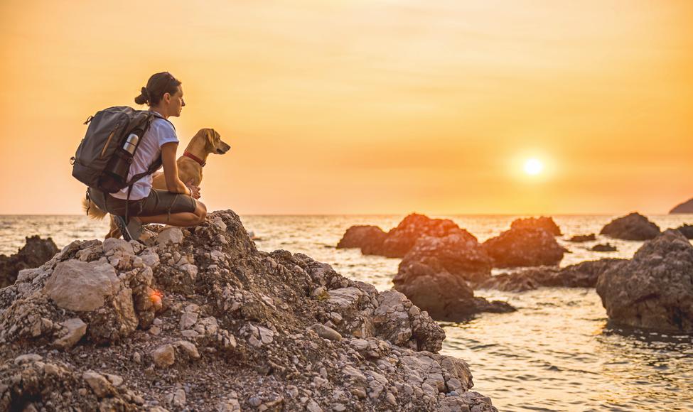
Start your weekend off right by bringing your favorite four-legged hiking buddy along with you to explore nature and enjoy the stellar views of the Bay Area. We’d argue that there’s nothing better than going on a date with your best friend and exploring the region’s natural wonders together—it’s no secret that our pets love hiking trails, and their energy is certainly contagious. Thankfully, there are plenty of dog-friendly hiking trails in the Bay Area, so grab your outdoor gear and your pup’s leash, because these destinations are waiting to be explored.

Does your business rank among the best in California?
nominate a businessLearn more about our selection criteria and vetting process.
Location: 680 Point Lobos Avenue, San Francisco
Difficulty: Moderate
Distance: 3.5 miles
Route: Loop
Pet policy: Dogs must be kept on a leash.
Parking: Ample parking space is available. There are several lots around the trail, including at Merrie Way, the USS San Francisco Memorial Parking Lot, and along El Camino del Mar.
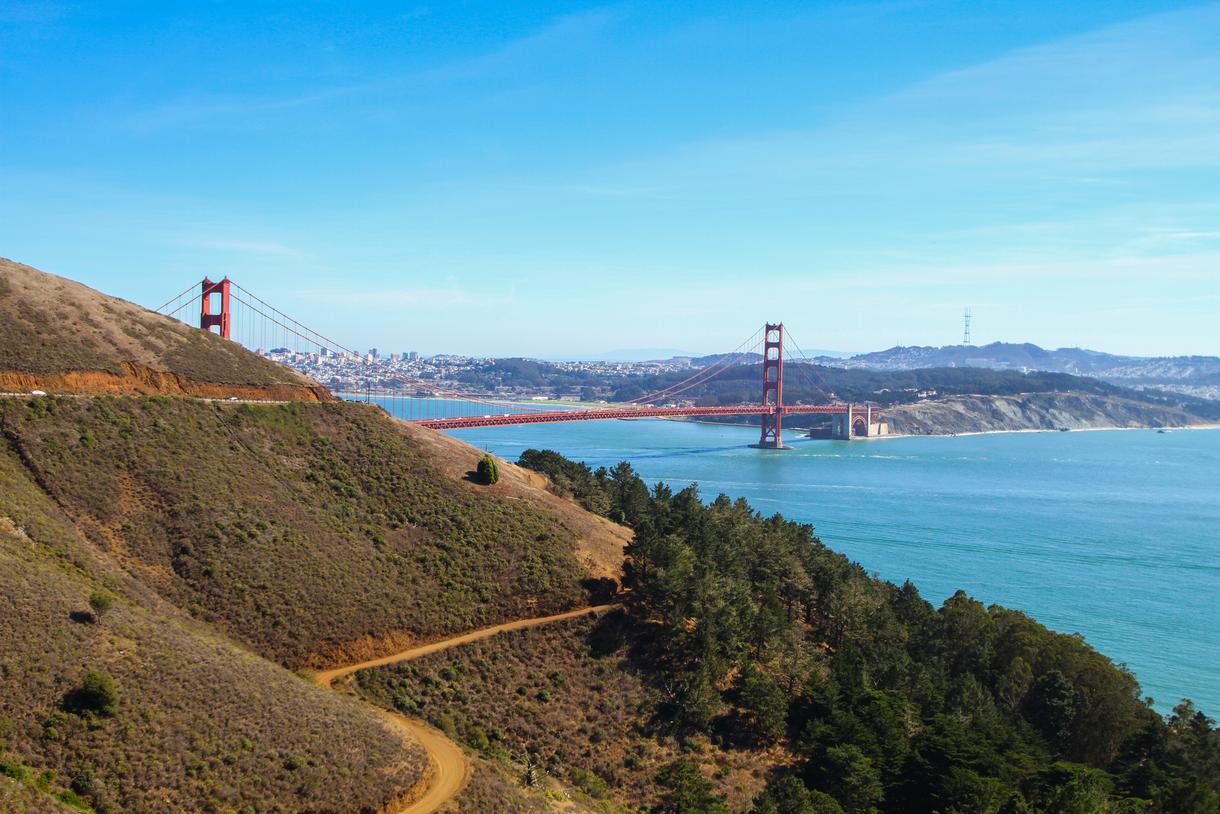
Lands End Trail has long been a favorite Bay Area hike for dogs and their owners. Along the way, you’ll discover breathtaking views and historical landmarks. The stunning trail also features one of the rockiest and wildest hiking paths on North America’s coastline, complete with a cliff-top walk (definitely not for the faint of heart) and unbeatable vistas of the Pacific Ocean and the Golden Gate Bridge.
The route is a bit narrow and has staircases, hilly sections, and curvy twists (which make it a great place for jogging, too). If you need to take a breather, stop by the historic Sutro Baths—once the world’s largest indoor swimming complex—and snap a photo, dine at the delish Cliff House while savoring the view, and stroll around the outdoor area of the Legion of Honor. When you are dog-free, you can come back to marvel at the original, Parisian-inspired architecture and fine art collection inside the museum.
Location: Pacifica
Difficulty: Moderate
Distance: 2.5 miles
Route: Loop
Pet policy: Dogs must be kept on a leash.
Parking: Two parking lots are available at the Old Mori Road entrance on Bradford Way.
Nestled near Pacifica, Mori Point Loop is a top weekend destination and a great place to take your dog on a hike in the Bay Area. Your canine will love playing on the sandy beach and jumping in the crashing waves. (Just an FYI: The riptides can be rough out here, so be mindful of your pup, if you happen to experience nature’s wild side.)
Admire the dramatic coastal scenery and the lush flora and fauna. There’s no better trail than the Mori Point Loop Trail to experience the best sunset view of the region, whale watch, or enjoy Pacifica’s splendid coastal bluffs. If you head to this ridgeline trail during daylight hours, you can even get a clear view of the Golden Gate Bridge.
Location: Contra Costa County
Difficulty: Moderate
Distance: 4.7 miles
Route: Loop
Pet friendly: Dogs are allowed on the trail off-leash.
Parking: Free parking is available right by the trailhead.
If grassy hills, looming mountains, and dense vegetation excite you, then this Contra Costa County trail is the one for you. The stunning vistas surrounding the Rocky Ridge View and Elderberry Loop Trail will take your breath away. The scenery is especially exceptional during springtime, when a golden eagle might grace you with his or her presence (high in the sky, of course).
Although vibrant wildflowers are abundant here, there is a shortage of tall trees and shade on the path, so we suggest planning your hike on a windy or cooler day. Even though you’ll climb almost 1,000 feet during the beginning part of the hike, the trail will flatten out and become a bit more relaxing. Pack your lunches, throw in an extra bottle of water, and you’ll be ready to enjoy the trail.
Location: Oakland
Difficulty: Moderate
Distance: 7.9 miles
Route: Loop
Pet policy: Dogs must be kept on a leash.
Parking: Easy parking is available at the Skyline Gate Staging Area at Skyline Boulevard and Pine Hills Drive.
Another wonderful summer escape for hikers and their dogs is the French, Bridle, and Stream Trail Loop—Oakland’s hidden gem. This trail stretches 7.9 miles, is accessible year-round, and features a well-shaded path with a flourishing natural ecosystem. As the trail develops, you and your pup will get the strenuous workout of an upward trek, before the adrenaline-pumping race down to the finish line (so to speak).
Once you reach Skyline Drive, marvel at the beautiful view overlooking the East Bay Hills. As the trail gradually declines, you’ll enjoy the unparalleled experience of being amongst the redwoods found in this unique regional park. There’s an easy climb along the Stream Trail, which slowly steepens near the end. When you get to Redwood Creek, you’ll pass the four-way junction with Bridle Trail, but take a break before continuing on. The river and the lush vegetation make it an ideal place to slow down and unwind for a bit—especially since it’s the shadiest part of the loop. You can also breathe in the area’s natural pepperwood scent, which will have you dreaming of your next DIY spa day at home.
Location: San Francisco
Difficulty: Easy
Distance: 2.7 miles
Route: Loop
Pet policy: Dogs can roam off-leash.
Parking: There is a fairly large parking lot along Fort Funston Road.
There’s a good reason why this labyrinth of trails is a top choice among those seeking dog-friendly hikes in the Bay Area. With rolling sand dunes and coastal bluffs, Fort Funston offers something for beginners and advanced hikers alike. The wide range of activities here also includes bird watching, horseback riding, hang-gliding, and kite flying.
As you traipse across the Fort Funston Trail with your fur baby, let your canine sniff and explore the park off-leash, while you admire the historic remnants of the fort and its military paraphernalia scattered around the trail. Initially, Fort Funston was a harbor defense installation to prevent naval attacks from occurring in the southwest corner of S.F. Formerly known as the Lake Merced Military Reservation, the fort was renamed Fort Funston after Major General Fredrick Funston.
Due to the off-leash policy and dog-friendly beach here, the trails can get crowded during weekends, and it may get really windy if you’re standing above the sandy bluffs, so come prepared.
Location: Mill Valley
Difficulty: Moderate
Distance: 4.7 miles
Route: Loop
Pet policy: Dogs are allowed on-leash.
Parking: Free parking options are available.
Still wondering how to spend your summer weekend? Pack for a two-hour hike with your pet and head to the Rodeo Beach Coastal Trail Loop, which is the ultimate destination for ocean lovers. The trail is partially paved and suitable for mountain biking and running as well.
As you make your way along the loop, you'll trek across coastal bluffs, which showcase gorgeous Pacific Ocean vistas. For a tantalizing view of Rodeo Beach, keep following the pathway until you reach the Miwok Trail. Once you’re there, you’ll be rewarded with a spectacular panoramic view.
If you’re feeling adventurous, continue your Bay Area coastal hike by climbing up the steep path until you reach Tennessee Beach. Still have ample energy and enthusiasm? From there, take a hike along the cliffs to get to the scenic Muir Beach.
Location: Stinson Beach
Difficulty: Challenging
Distance: 3.2 miles
Route: Out and back
Pet policy: Dogs are allowed on leash
Parking: Parking at the watershed is forbidden. It is open only for people with disabled parking permits or license plates. There is limited parking available down the road, but it is best to get there early to nab a spot.
Once you experience the incomparable beauty of Mount Tamalpais from the Cataract Falls Trail, this will quickly become your favorite dog-friendly hike in the Bay Area. The trail features a lake, waterfalls, oak forests, open grasslands, redwoods, and a stunning view. Since this path caters to every interest, you’ll definitely discover something to love.
The Cataract Falls Trail, a local favorite, is an amazing path situated in Marin County. Once you reach Fairfax Road, cascading waterfalls will come into view. Along the way, the trail intertwines with Cataract Creek through a well-shaded forest. Just when you’re thinking about taking a breather, you’ll stumble upon Laurel Dell—a perfect picnic place and resting spot for both you and your fur baby. Don’t spend the whole day at Laurel Dell though, because the best is yet to come. Past the picnic area, the trail will gradually descend towards the upper falls. When you reach the junction of Helen Markt and Cataract Falls, you’re in for a divine treat: Relax and rejuvenate in a refreshing pool tucked within lush vegetation while admiring the marvelous views.
Looking for more summer adventures? Check out the Bay Area's best mountain hikes and top hiking trails in the region.


Never been before? We’ll be your trustee Little Tokyo guide with a day’s worth of fun things to do in Little Tokyo.

People go on Memorial Day weekend getaways as an indirect celebration of life. How do you plan on celebrating the long weekend?
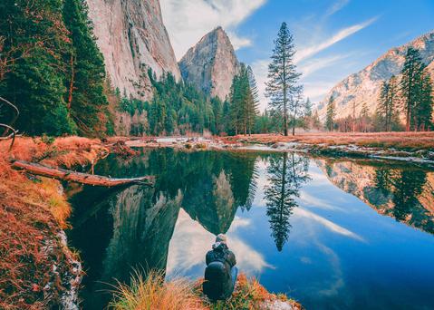
From undulating mountains, to coastal expanses, to verdant forests, here are some of the top spots for backpacking in California.
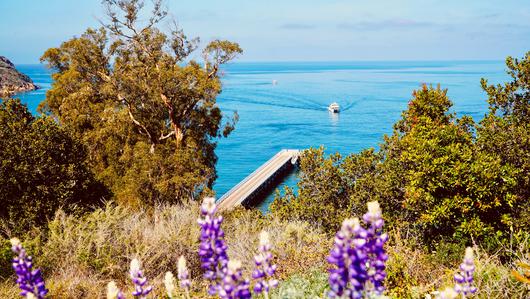
Settled off the California coast, the Channel Islands offer endless adventures. Here are the best things to do and how to get there.

