5 Things to Do in Little Tokyo, California
Never been before? We’ll be your trustee Little Tokyo guide with a day’s worth of fun things to do in Little Tokyo.
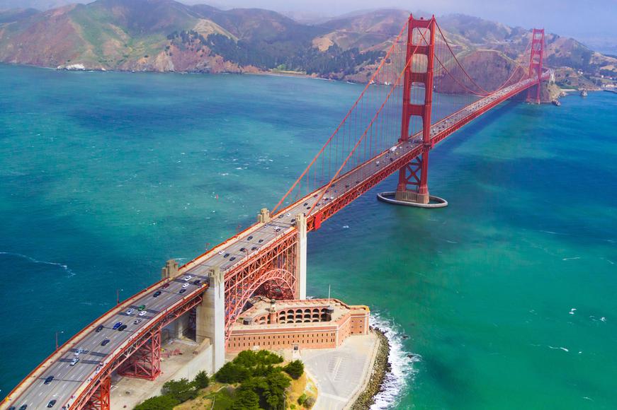
Free your mind and go on a scenic drive through the Bay Area. Spend your afternoon cruising past towering redwoods, driving down coastal roads, or exploring new sections of San Francisco. Whether you want to view majestic mountains, lush forests, or pristine beaches, California has a road trip for you.
Whether you want to wind your way along Berkeley’s Wildcat Canyon Road, San Francisco’s 49-Mile Scenic Drive, or Napa Valley’s Silverado Road, you can enjoy a fun, action-filled day in the Bay. A quick tip before kicking off your road trip: Learn about the unspoken California driving rules and bring plenty of healthy snacks for a pleasant drive.
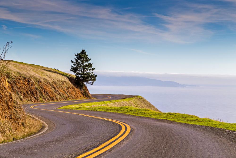
The Panoramic Highway makes for one of the best drives in the Bay Area. Tucked above the majestic Muir Woods National Monument, this roadway displays grassy slopes, glorious views of the Pacific, enchanting oak woodlands, and stunning panoramas of Stinson Beach. For the best driving experience, start at Mount Tamalpais and wind your way down to the coast. Take your time and appreciate the scenic views of the Bay Area, Muir Woods, Mount Diablo, and the Marin Headlands. The road will eventually lead you to Stinson Beach, where you can unwind and enjoy a perfect afternoon.

Does your business rank among the best in California?
nominate a businessLearn more about our selection criteria and vetting process.
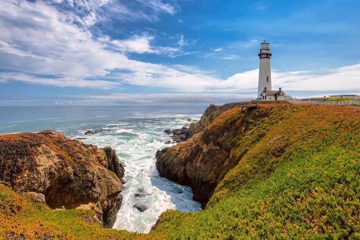
The famous Pacific Coast Highway (PCH), also known as Highway 1, stretches 656 miles along the Golden State’s coastline, from San Diego to San Francisco. The Northern California section of the PCH leads you past pristine beaches that will take your breath away, so be sure to get pics for the ‘Gram. Another historic landmark is Pigeon Point Lighthouse—the tallest lighthouse on the West Coast—which offers amazing views of the S.F. skyline and natural beauty of California. As you continue onward, you’ll find yourself on a scenic Half Moon Bay drive. The highway also passes by the sheer cliffs of Devil's Slide, where you can watch the waves crash onto rocky land.

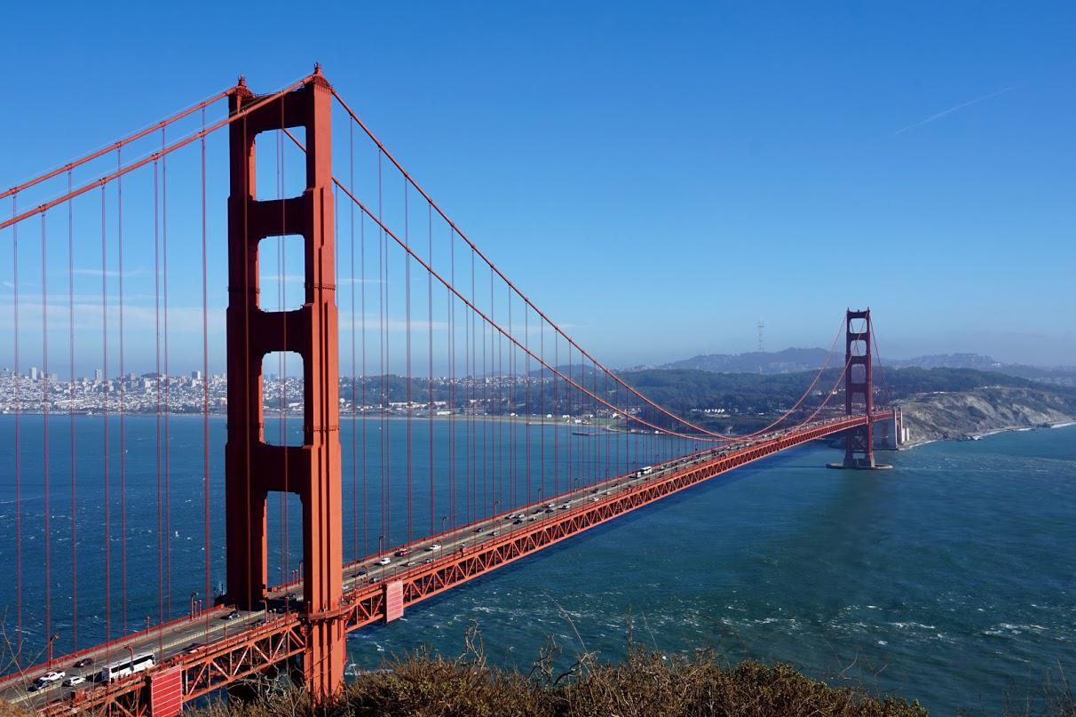
Stretching from the Santa Cruz–Santa Clara County line to State Route 92, Skyline Boulevard (Route 35) is a two-lane state highway boasting magnificent views of the Bay Area. This 54-mile drive showcases the San Francisco Bay and the Pacific Ocean as it cuts through Silicon Valley's backcountry, offering a unique perspective of the tech-centric metropolitan area.
Route 35—one of the best driving roads in the Bay Area—is among the best drives from San Francisco, serving as a weekend escape from the hustle and bustle of the city. If you manage to avoid heavy traffic during the weekend, it’ll take you roughly 15 minutes to drive along this windy, narrow road. Head south on Highway 280, follow the well-marked route to Highway 92, and make your way to Skyline Boulevard. Along the route, admire the Peninsula and the many natural wonders surrounding this region. You should also set aside time to make stops on your road trip so you can visit other incredible landmarks and top Bay Area state parks such as Sanborn County Park, Castle Rock State Park, and Wunderlich County Park.
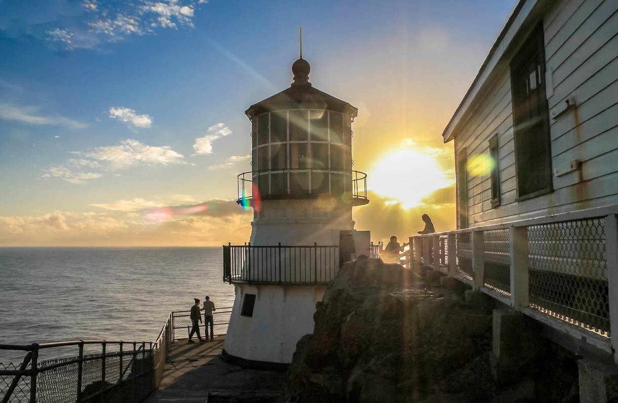
Starting from Marin, take Sir Francis Drake Boulevard for a scenic drive to the coastal utopia of Point Reyes. The road passes by wide-open grassy areas as well as Samuel P. Taylor State Park, which is home to 600 acres of old-growth coastal redwoods. Stop here to inhale the aromatic scent of trees, take photos, and rest up before continuing on to the historic Point Reyes Lighthouse. Initially built to warn mariners of possible hazards along their journey, the lighthouse now offers a spectacular view of the Pacific Ocean and is definitely deserving of a day trip. While you’re in Point Reyes, make sure to pick up artisanal cheese from some of California’s best cheesemakers.

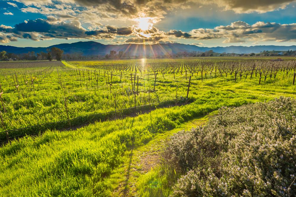
The Silverado Trail is a verdant, backcountry road and a top scenic Northern California drive. Encompassing Sonoma and Napa Valleys, it is known for being the first roadway to link Napa and Calistoga. The route has twists and turns that lead past rolling hills and provide beautiful views of the renowned Napa Valley. The Silverado Trail runs parallel to Highway 29, and there’s no heavy traffic to prevent you from enjoying the divine places scattered along the way. The valley will take you to hidden and enchanting Wine Country destinations that are waiting to be explored.
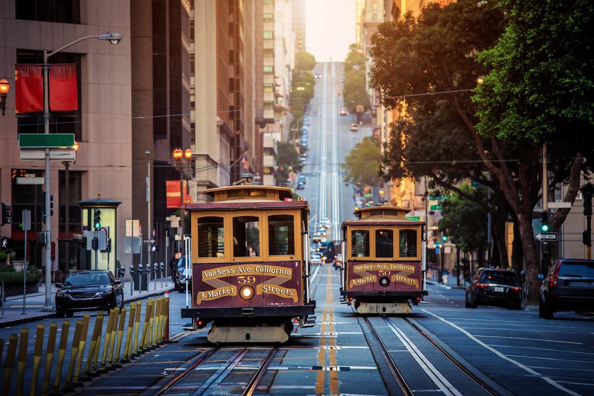
The 49-Mile Scenic Drive is the quickest and most accessible way to explore San Francisco. Designed to show off the city, this 49-mile stretch of road is among the best San Francisco drives. The road was originally constructed by the S.F. Downtown Association for the Golden Gate International Exposition in 1939 and featured a route between San Francisco City Hall and Treasure Island. Since then, the route has been modified several times, and it is now a counterclockwise loop from Civic Center Plaza. The drive takes you through the city, so it’s time to discover the best attractions in San Francisco—stop by Chinatown, Fisherman’s Wharf, and Golden Gate Park along the way.
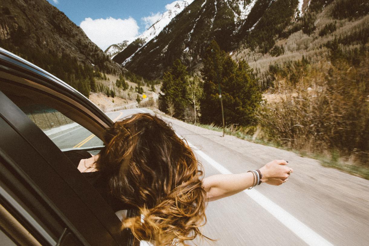
Interstate 280 stretches roughly 58 miles between San Francisco and San Jose, following the San Andreas Fault through a largely unpopulated area. Relax as you drive by the stunning Crystal Springs Reservoir and the rugged peaks of the Santa Cruz Mountains. Restaurants, billboards, and other urban elements aren’t found on this tranquil road. It’s the perfect drive for a Sunday morning and the best route to take if you’re heading to San Jose from the city.
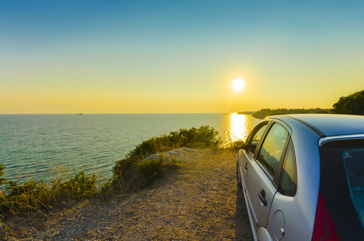
Head up into the Berkeley Hills via Wildcat Canyon Road to experience the beauty of Tilden Regional Park. If you’re coming from the East Bay, you’ll drive through several tunnels, namely the Caldecott Tunnel, which connects you with State Highway 24—the starting point of the route. Take the Fish Ranch Road exit to get on Grizzly Peak Boulevard, then cruise onto Wildcat Canyon Road for breathtaking vistas of the Berkeley Hills, San Francisco, and beyond. This is the perfect road to view the iconic Bay Area skyline and watch the sun set over the horizon.


Never been before? We’ll be your trustee Little Tokyo guide with a day’s worth of fun things to do in Little Tokyo.

People go on Memorial Day weekend getaways as an indirect celebration of life. How do you plan on celebrating the long weekend?
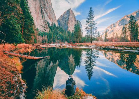
From undulating mountains, to coastal expanses, to verdant forests, here are some of the top spots for backpacking in California.
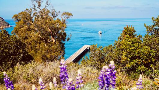
Settled off the California coast, the Channel Islands offer endless adventures. Here are the best things to do and how to get there.

